To Mughal India

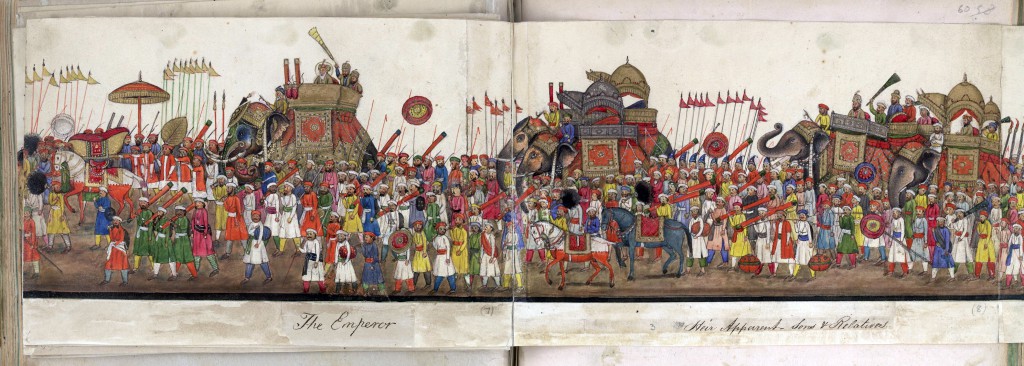
procession of Emperor Bahadu

This procession is at the British Library but we took a circuitous route to find it. We started out for old times’ sake from the Brunswick Centre. Sue used to share a nearby flat, the Gate Bloomsbury (now renamed Renoir) was our local cinema and later Coram’s Fields was always a favourite place to bring the girls, but not today. Continue reading “To Mughal India”

Frames of reference

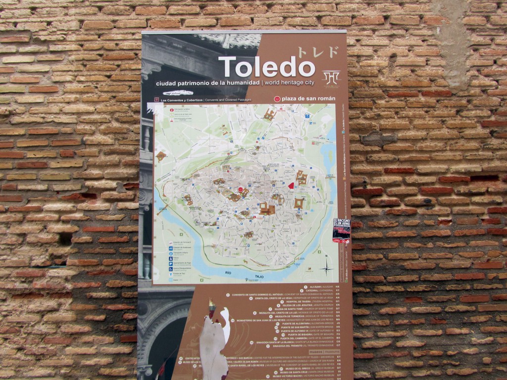
The Walls Of Toledo

Lottie said, ‘I don’t know why you’re wasting your time photographing autumn leaves, the story of Toledo is in its walls’. So, never one to ignore an idea for a blog post, and because there are few trees in Toledo, I began collecting images of the casco murallas. Continue reading “The Walls Of Toledo”

Frames of reference

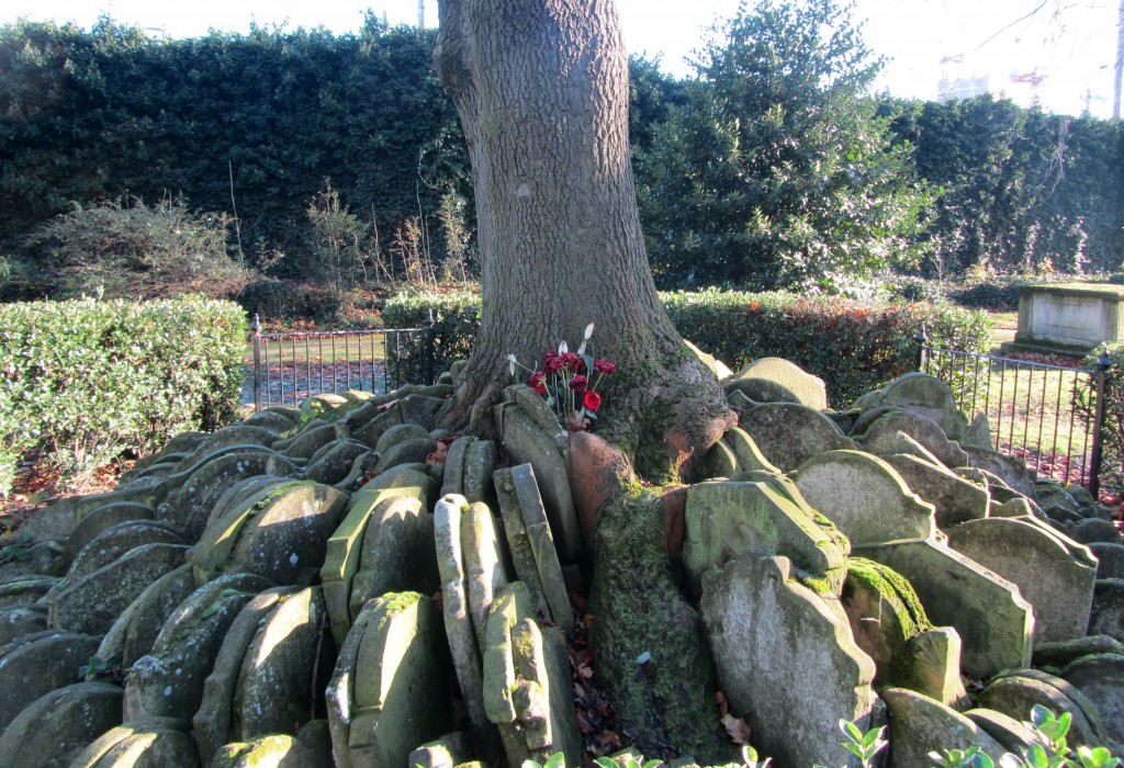
Hardy Ash?

Last Sunday I went back to St Pancras Old Church for the first time since April (A Walk From King’s Cross) to see how the Hardy Tree was getting on. It is not a particularly grand tree, nor is it ancient but it is probably London’s most significant ash tree. With all the hysteria in the press I wondered if I would find signs here of ash dieback. Is this tree able to withstand the coming plague or is it doomed and this site to become a memorial to fraxinus excelsior? Continue reading “Hardy Ash?”

Frames of reference

Notes From St Ives

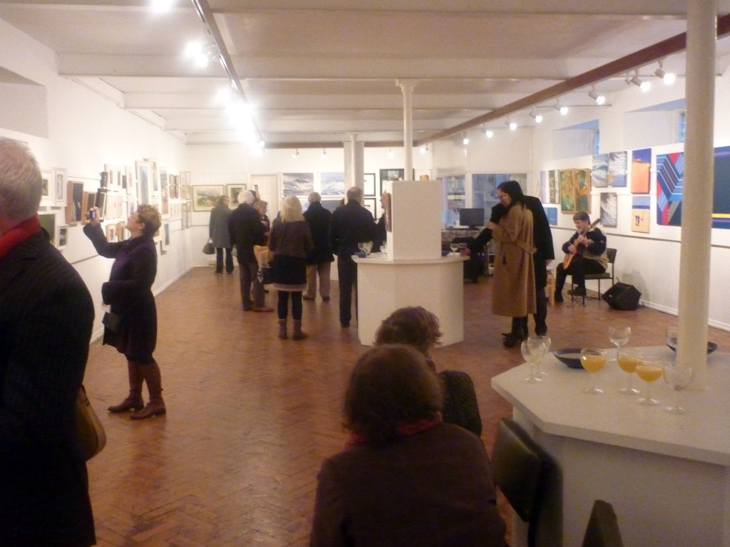
Just a few notes and pictures after a wonderful trip to St Ives. I was down to exhibit again with the National Acrylic Painters Association who were showing in the famous Crypt Gallery which in the 1940s was the venue of exhibitions by the Crypt group when St Ives was at the cutting edge of British painting and sculpture. Continue reading “Notes From St Ives”

Frames of reference

From Eggardon Hill & Pilsdon Pen

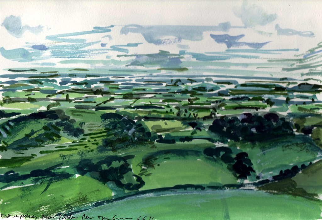
The four landscape paintings on exhibition at The Rowley Gallery were committed to 200gsm acid-free paper using artist’s watercolours and gouache from the peaks of Eggardon Hill and Pilsdon Pen in north west Dorset. Pilsdon is Dorset’s highest hill, and closely associated with the legend of the screaming skull at Bettiscombe Manor, down there in the Marshwood Vale. For many years the skull in question was believed to be that of an African servant girl of the 18th century. Under recent analysis it was proved to be the skull of a young girl of the late Neolithic, circa 4,000 BC. This is close to the vintage of the ancient shaped hills and sacred landscapes of Dorset – stone circles, burrows, tumps, burial sites, excarnation sites, and later fashioned as fortresses raised against the worsening weather and tribal pomp of the Iron Age. All are studded with human, animal and ritual remains in their steep, deeply dug chalk banks. Continue reading “From Eggardon Hill & Pilsdon Pen”

Frames of reference

Ambresbury Banks

A circuit of Ambresbury Banks in Epping Forest, an ancient earthwork built circa 500BC. According to local legend it was the site of the defeat and death of the great British Queen Boudicca at the hands of the Romans in AD61. The Iron Age banks and ditches formed an enclosure used as a cattle fold. Nowadays it is overgrown with beech trees and was covered with a carpet of leaves and beechmast when we visited. A series of lovely undulations striped by tree shadows in leaf filtered light. Continue reading “Ambresbury Banks”

Frames of reference

Holloway Junction

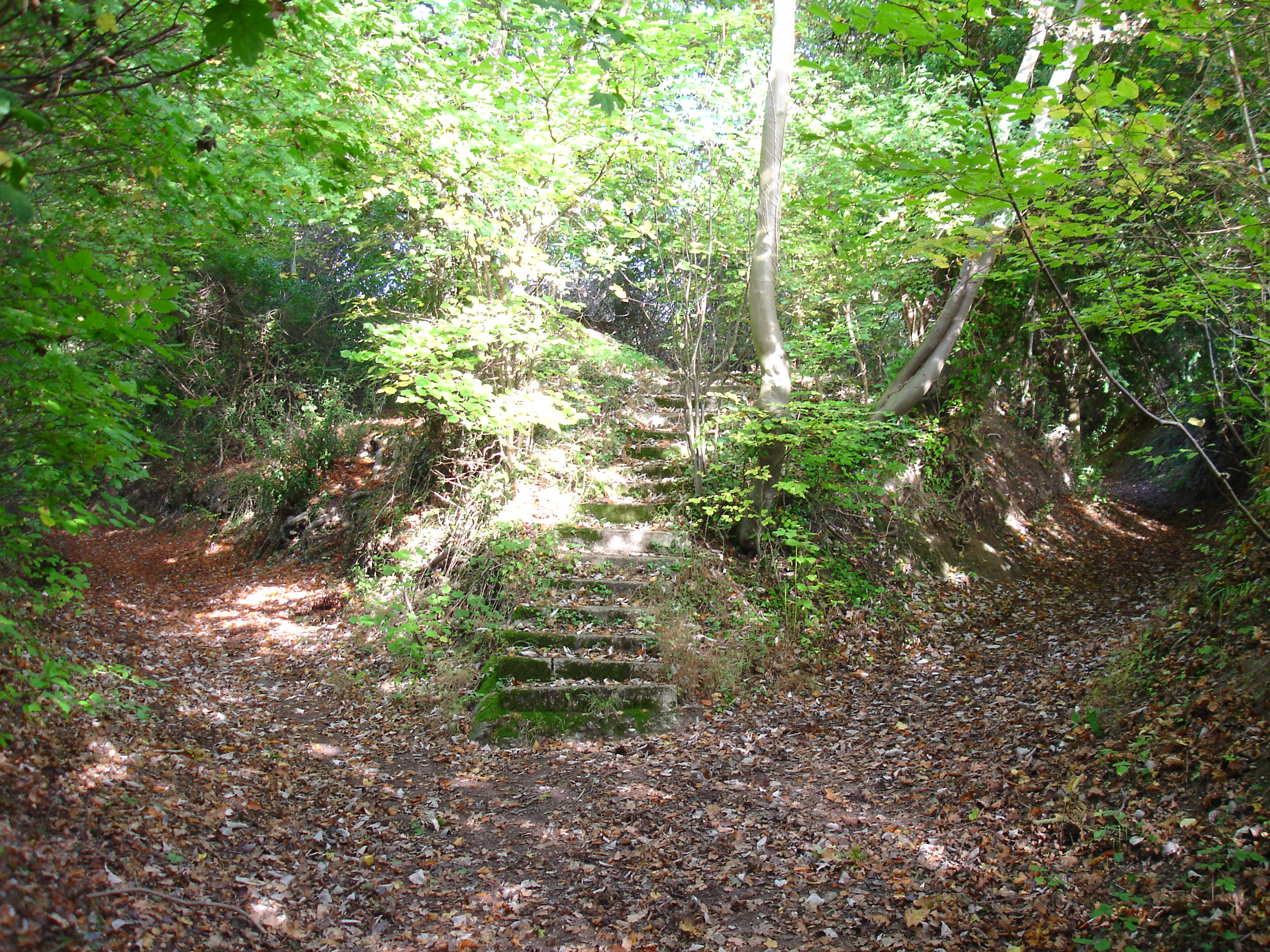
I’ve had this image as the desktop background on my computer for the last three years. It was the highlight of a walk from West Wycombe to Hughenden Manor. We passed many grand buildings and sweeping landscapes but this place, at the intersection of two sunken paths and the curious steps leading up to where the light filters down through the leaves – Beam me up, Scotty – this was my favourite moment of the walk. Continue reading “Holloway Junction”

Frames of reference

Utopia

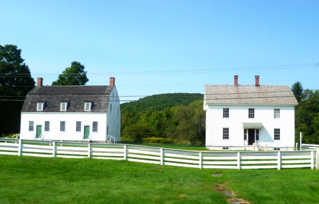
Christopher Corr sent us these photographs from America. They show a wonderful collection of mostly wooden vernacular buildings at the Hancock Shaker Village in Massachusetts. The Shakers began building a community here in the 1780s and continued up until the 1960s. They considered this their utopia and named it The City of Peace. Many of their buildings are still preserved here. Some have been lost and some have been re-erected here from other Shaker settlements. Continue reading “Utopia”

Frames of reference

Messing About On The River (3)

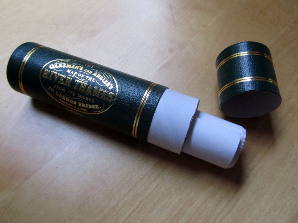
This is The Oarsman’s and Angler’s Map of the River Thames from its Source to London Bridge. It comes rolled in a tube and at one inch to one mile it is 2.5 metres long. It was engraved by E G Ravenstein and first published in 1893. This edition has an introduction by Richard Way, specialist bookseller from Henley on Thames:

…. The Thames flows roughly north west to south east but Ravenstein cleverly elongated this dimension by ironing out the river’s NE SW meanderings. The river is thus contained within an artificial boundary 5 miles wide. The map however retains a true scale along its length. If Ravenstein had represented a geographical reality at this scale the map would be shorter but 4 times wider. Ravenstein presumably selected London Bridge as the end point of the map because it was the last bridge on the river. Tower Bridge opened the year after the map was published.

It would be a difficult piece to frame and an awkward piece to hang. I thought it might be best presented here. Continue reading “Messing About On The River (3)”

Frames of reference