
This is View From Albert Bridge by Lawrence Quigley, one of a series down London’s painted river. Continue reading “Messing About On The River (4)”

Rowley Gallery Blog
This is View From Albert Bridge by Lawrence Quigley, one of a series down London’s painted river. Continue reading “Messing About On The River (4)”

I keep seeing this image on billboards around town. It’s a photograph of one of Andy Goldsworthy’s Cairn sculptures and it’s being used by The Maccabees to promote their new album. It reminds me of a visit five years ago to Digne-les-Bains where I found a whole series of his sculptures. Continue reading “Refuges D’Art”

The fox slowly and artfully began to materialise on the periphery of my conciousness and seep seamlessly into my paintings about five years ago. Today I class it as a major player in my lexicon of characters; those I call upon, or more likely those who call upon me. Continue reading “Fox Muse”

This is The Oarsman’s and Angler’s Map of the River Thames from its Source to London Bridge. It comes rolled in a tube and at one inch to one mile it is 2.5 metres long. It was engraved by E G Ravenstein and first published in 1893. This edition has an introduction by Richard Way, specialist bookseller from Henley on Thames:
…. The Thames flows roughly north west to south east but Ravenstein cleverly elongated this dimension by ironing out the river’s NE SW meanderings. The river is thus contained within an artificial boundary 5 miles wide. The map however retains a true scale along its length. If Ravenstein had represented a geographical reality at this scale the map would be shorter but 4 times wider. Ravenstein presumably selected London Bridge as the end point of the map because it was the last bridge on the river. Tower Bridge opened the year after the map was published.
It would be a difficult piece to frame and an awkward piece to hang. I thought it might be best presented here. Continue reading “Messing About On The River (3)”

Jazmin Velasco has been celebrating her ideal English summer on the river in Henley, Cambridge and Southwold, dodging the endless rain and doing her best to spread some sunshine with this series of light-hearted engravings. Continue reading “Messing About On The River (2)”

This is Kai on the Thames below Tower Bridge, sailing up river, back to where she started at Pimlico Pier and Westminster Boating Base.
Sunday mornings, blue sky, gentle breeze, tacking and gybing backwards and forwards, avoiding tourist boats, fighting the tide, trying not to be dunked by the better sailors. Usually the kids playing pirates are fearless and just love any opportunity to capsize. Occasionally being allowed down river as we were last month, memorably to sail under Tower Bridge and the Olympic Rings.

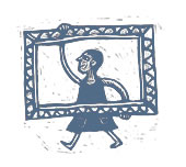
Christopher Corr commemorates the London 2012 Olympics with a team of exuberant athletes. See them working out at The Rowley Gallery, stretching the limits of human endeavour, Brighter, Warmer, Friendlier. Continue reading “Olympic Hoops”
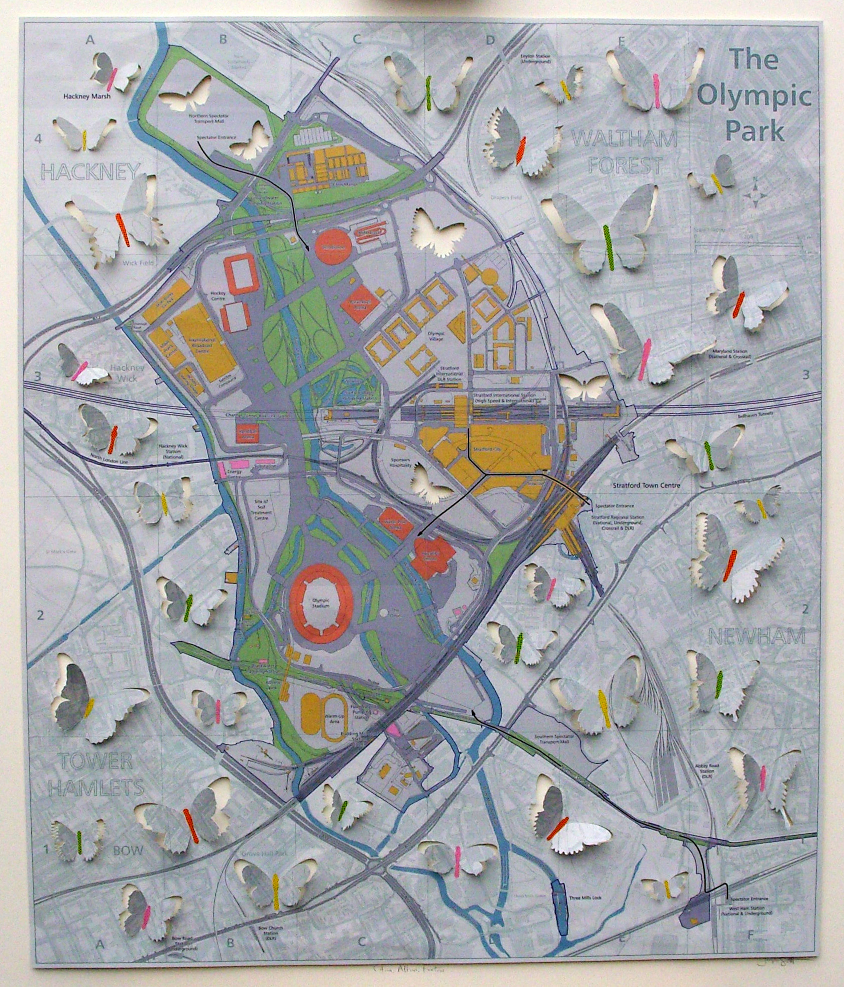
Joseph Silcott has used a map of the Olympic Park, published by Ordnance Survey and the Institution of Civil Engineers, to create this piece entitled Citius, Altius, Fortius (Faster, Higher, Stronger). He has released a flock of butterflies from it to signify the arrival of the world’s athletes to this previously overlooked part of London. You can read Joseph’s account of making it here and you can see the finished artwork at The Rowley Gallery.


Further to our previous announcement, Jelly’s exhibition at Kensington Place due to open on 7th August has now been rescheduled for September. Apologies for the delay. We’ll post more details once we know the dates. I’m sure it will be worth waiting for. In the meantime her paintings are still available at The Rowley Gallery.

John Hubbard is currently exhibiting a selection of paintings inspired by the gardens of the Alhambra and other Spanish gardens at The Art Room in Topsham, Devon until August 12th.