

Win Green From Berwick Down
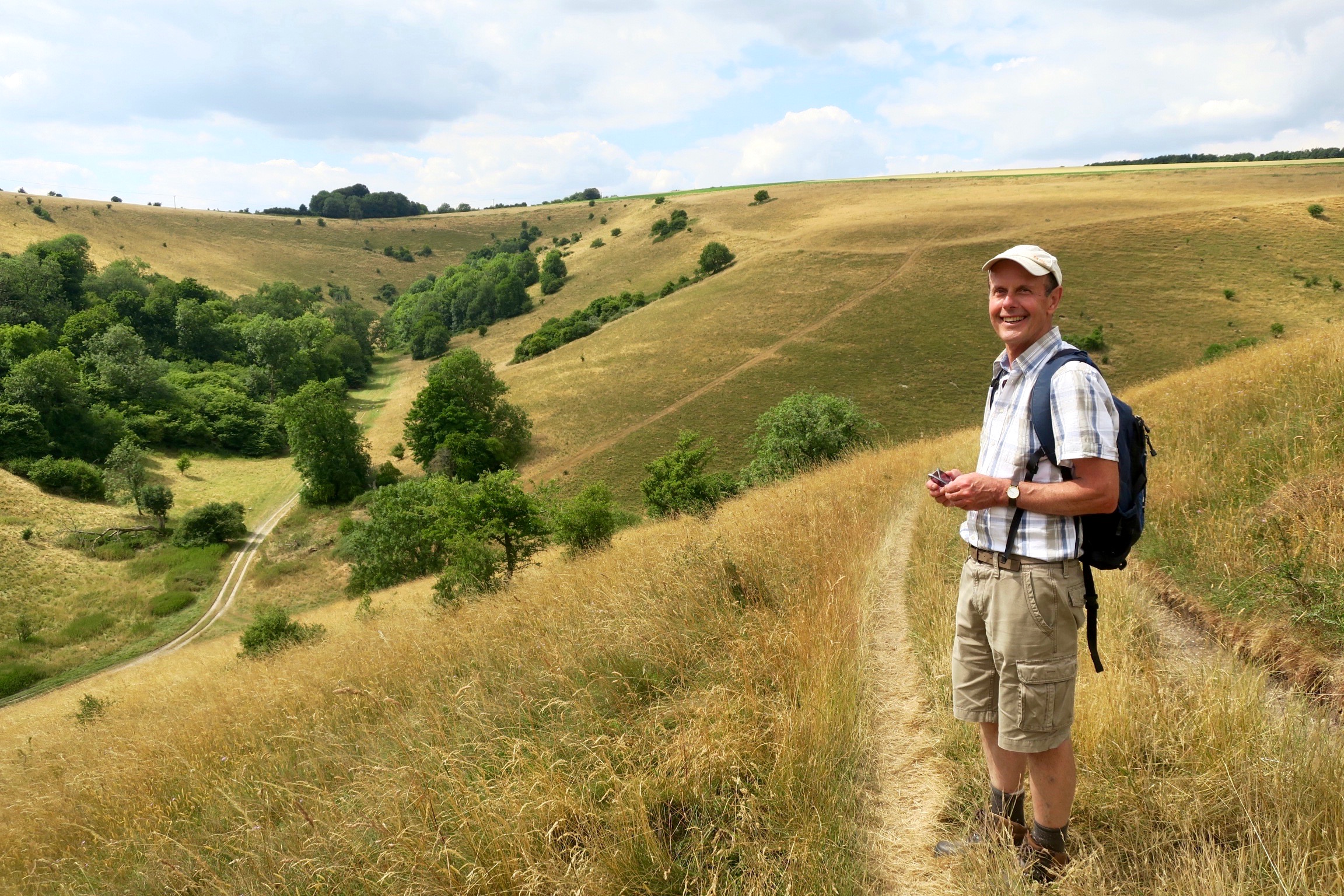
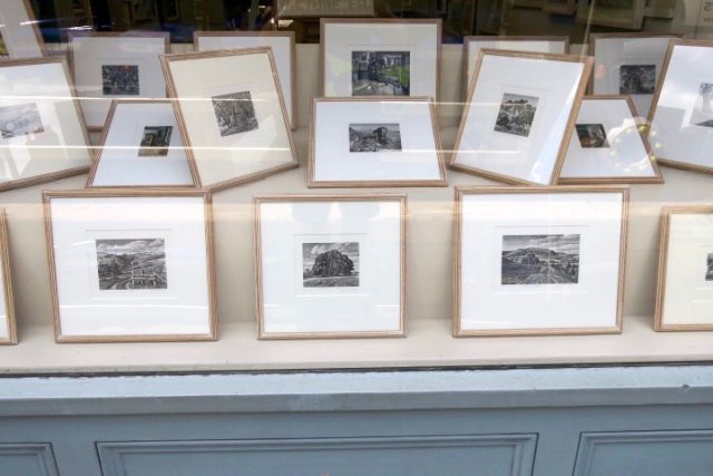
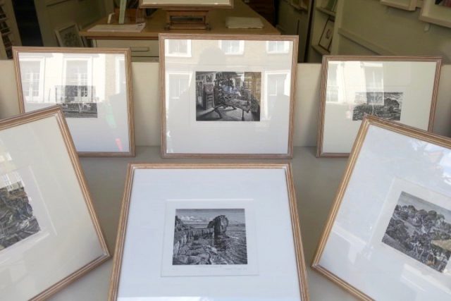
We asked Howard Phipps to fill our window with a display of his wood engravings and linocuts. So it seemed like a good idea to go down and collect them, and take a walk around some of the places that had inspired them. We followed a circuit up to Win Green, a prominent landmark and the highest point in Cranborne Chase, crowned by a clump of beech trees on a Bronze Age bowl barrow.
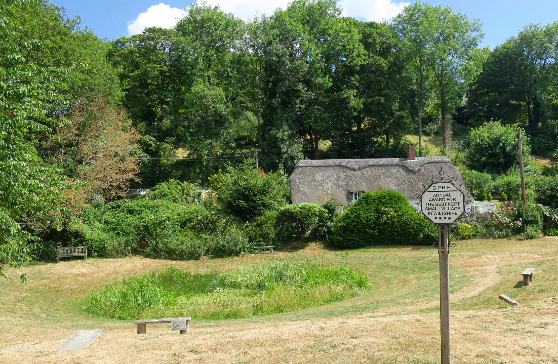
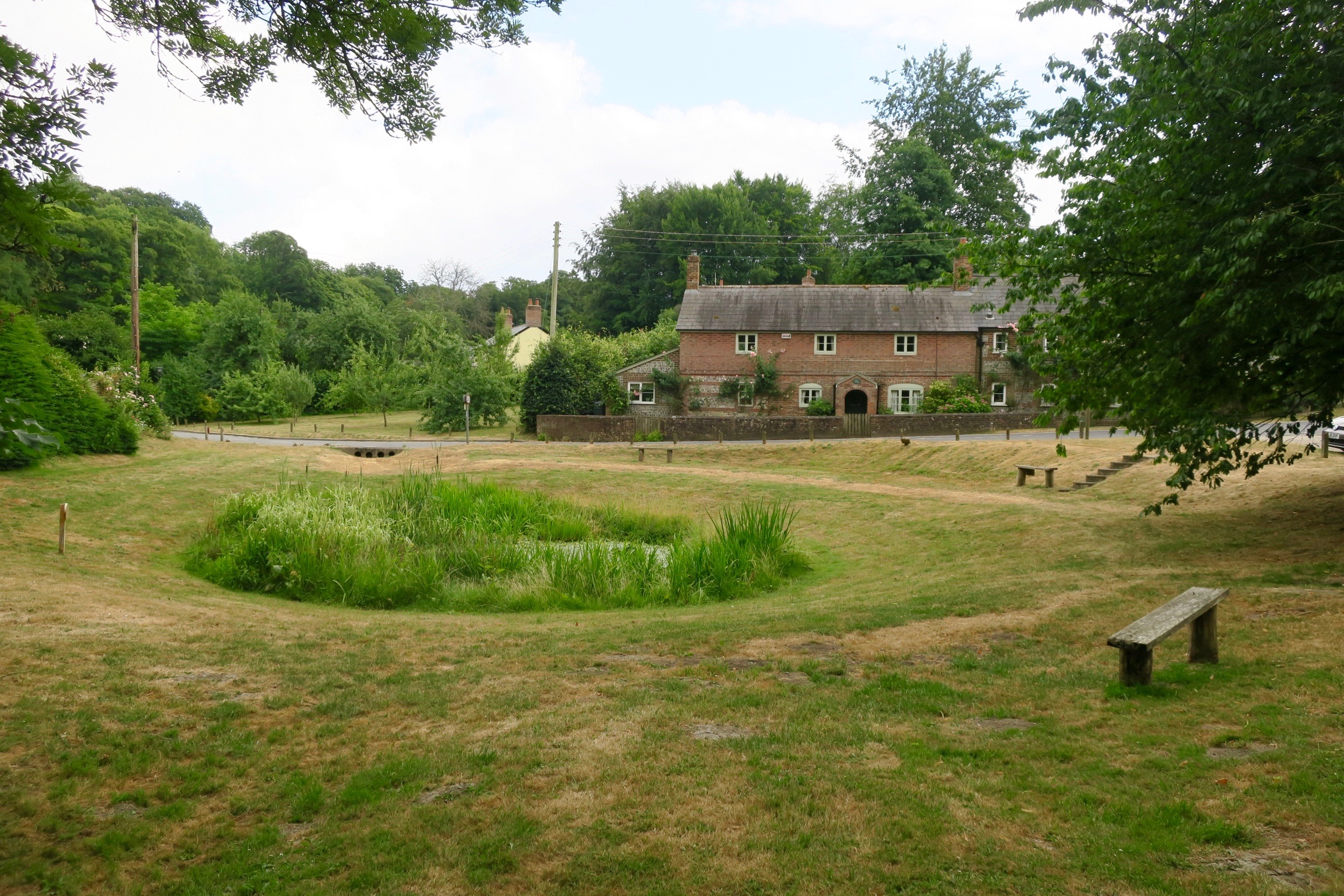
We set out from Tollard Royal by the village pond.
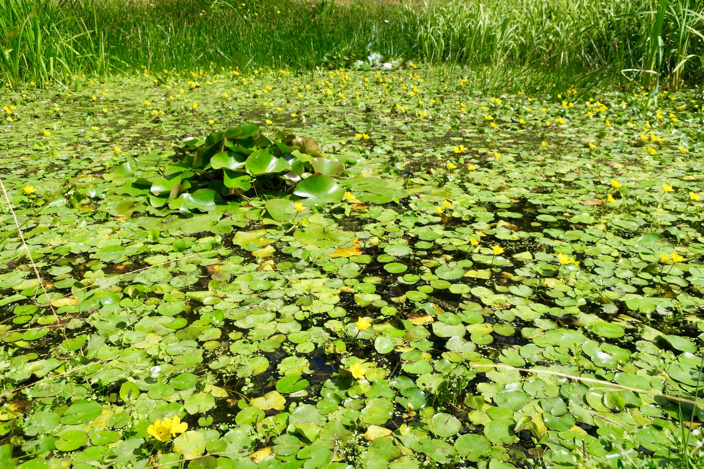
Whilst Howard was changing into his hiking boots I went down for a closer look. It was swarming with butterflies and damselflies and dragonflies, but they were all surprisingly camera-shy. I took lots of photos but I just couldn’t catch any of the fleeting flutterbys.
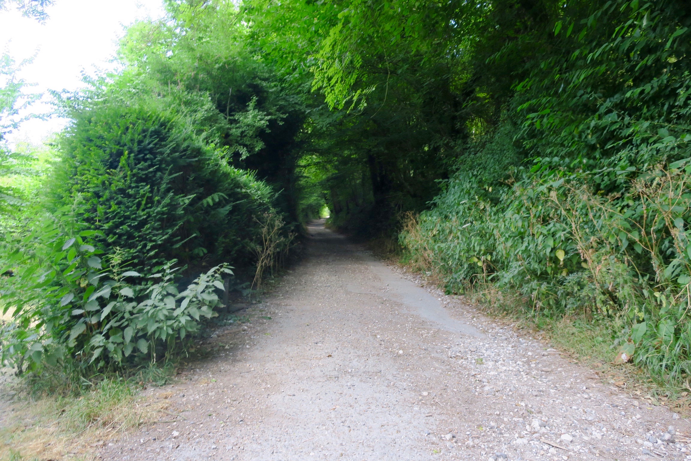
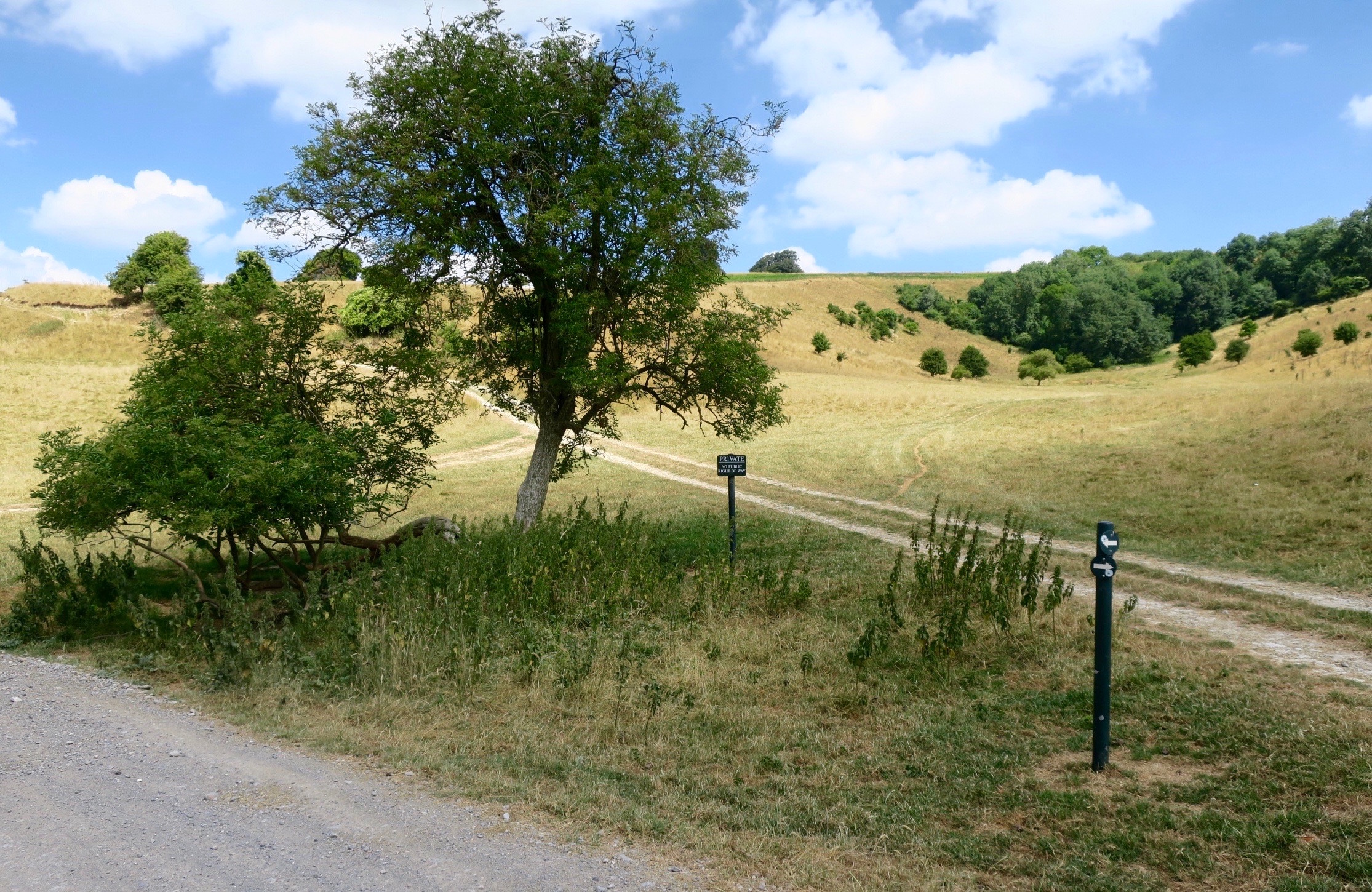
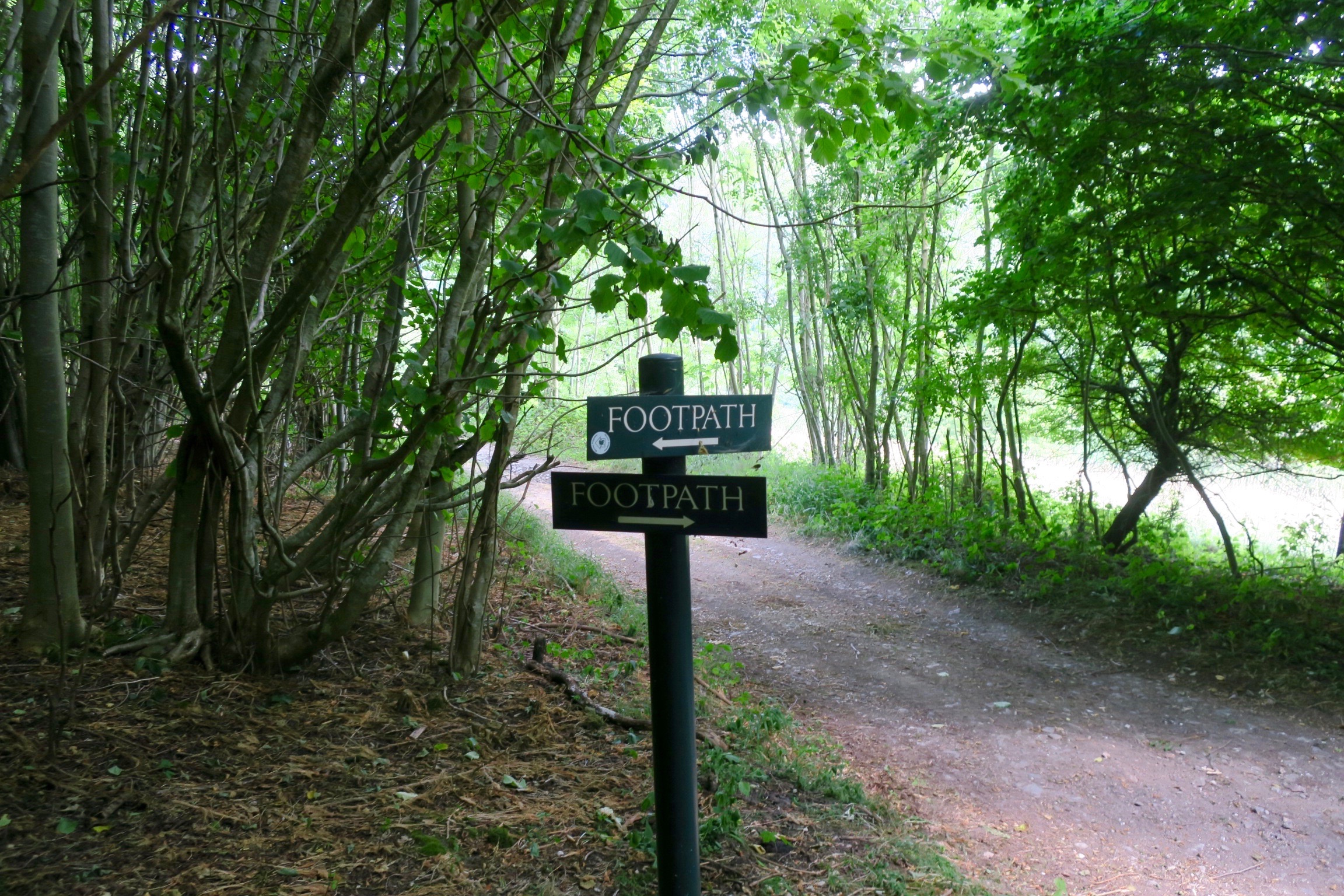
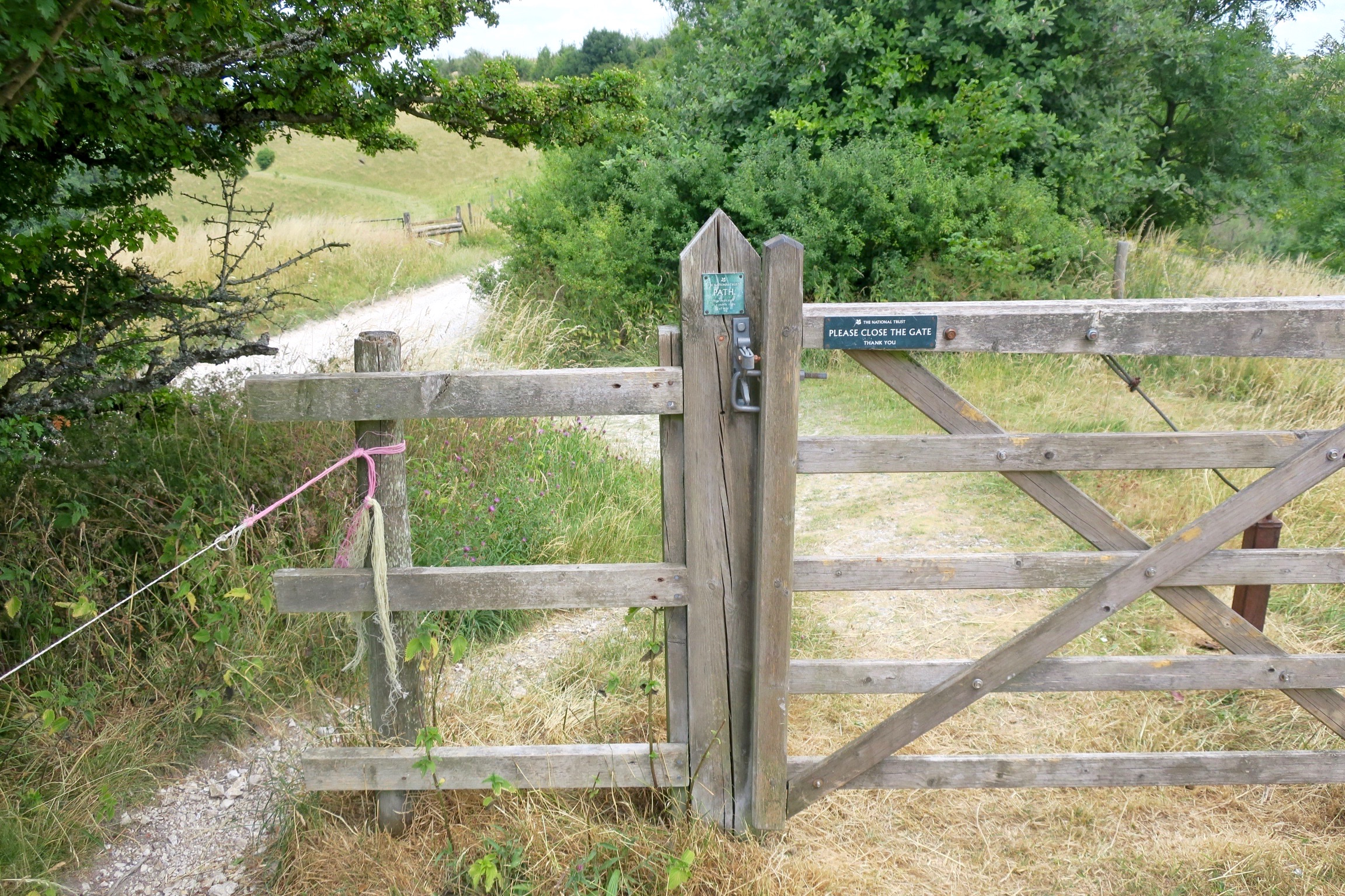
This way looked inviting but I was told it was the wrong way.
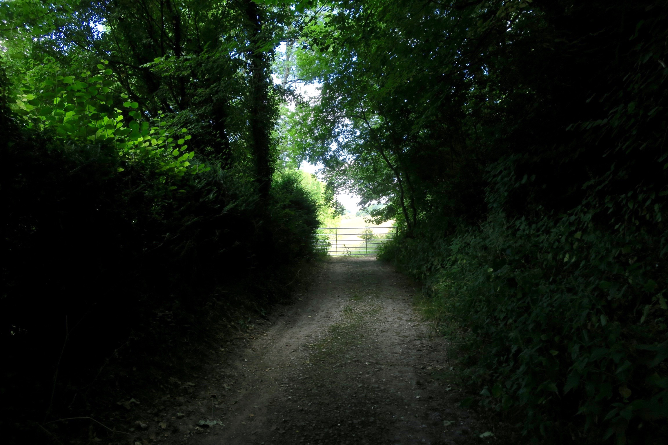
This was the way to go.

A nice stretch along the Wessex Ridgeway.
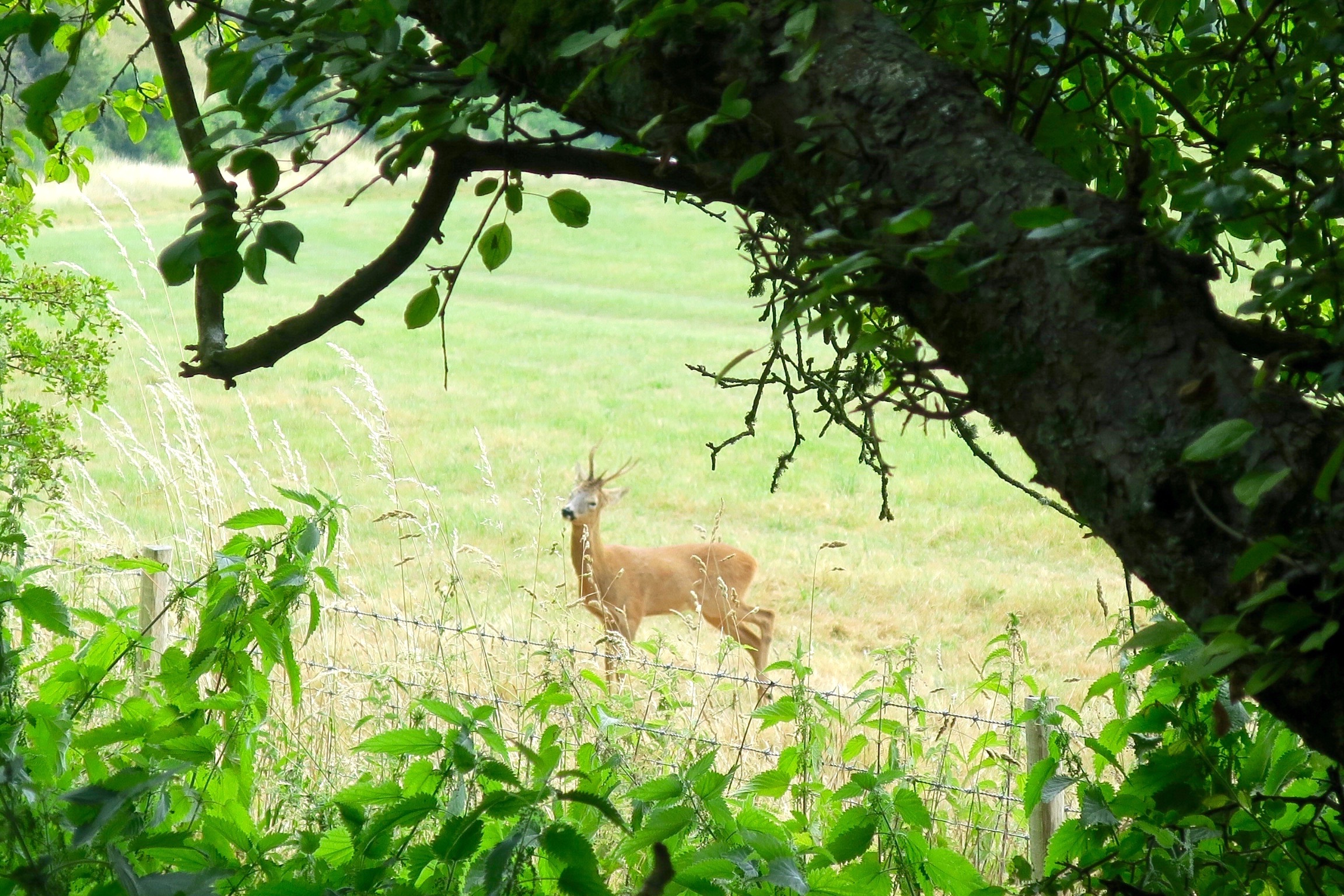
A roe deer, startled from under the hedgerow, but not too alarmed to pose for a photo. It prompted Howard to recall a previous encounter on an earlier walk; two hares dancing in a circle, he froze and watched as they danced closer and closer until they almost stepped on his toes, then recognising an obstacle they parted around him and continued on their way.
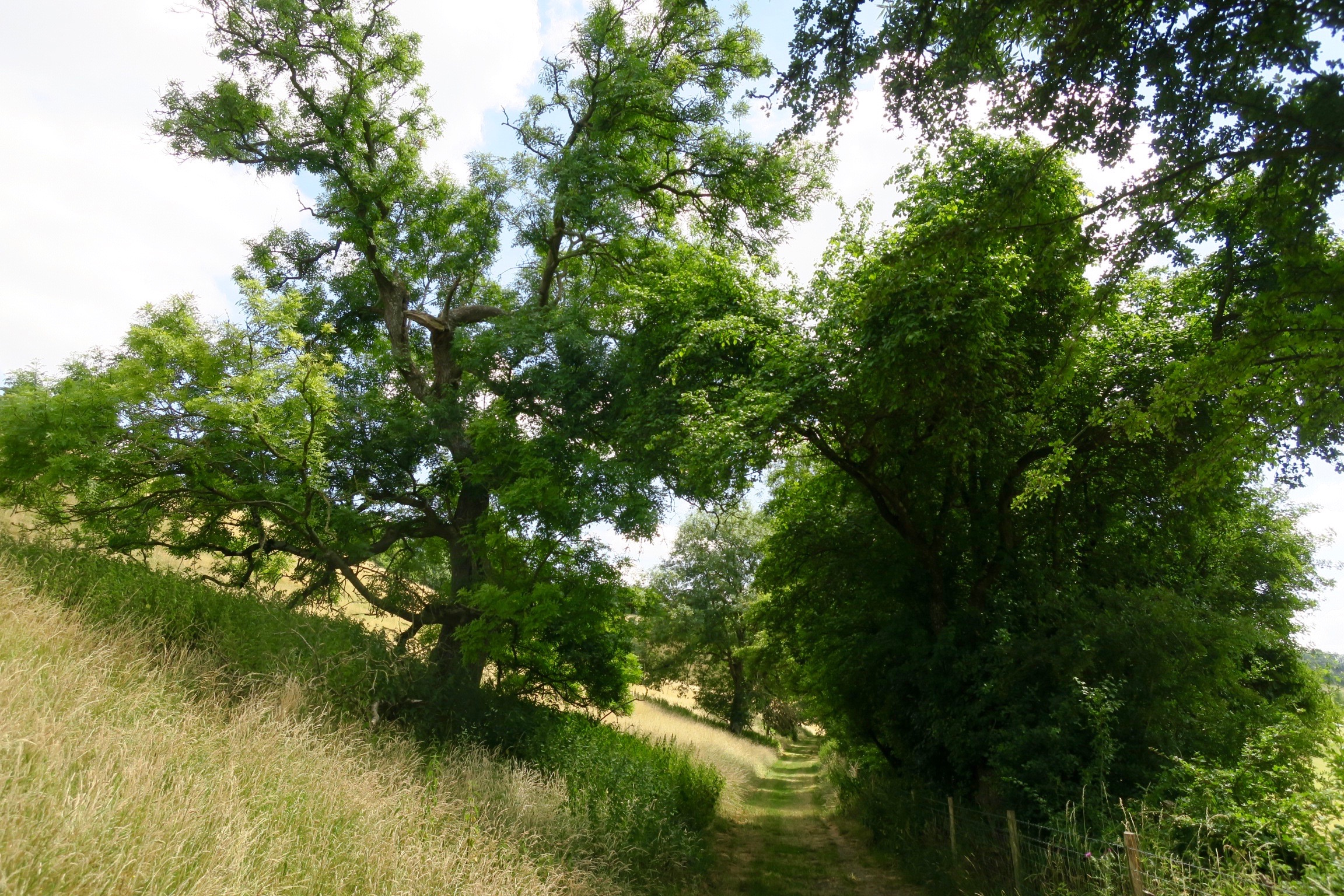
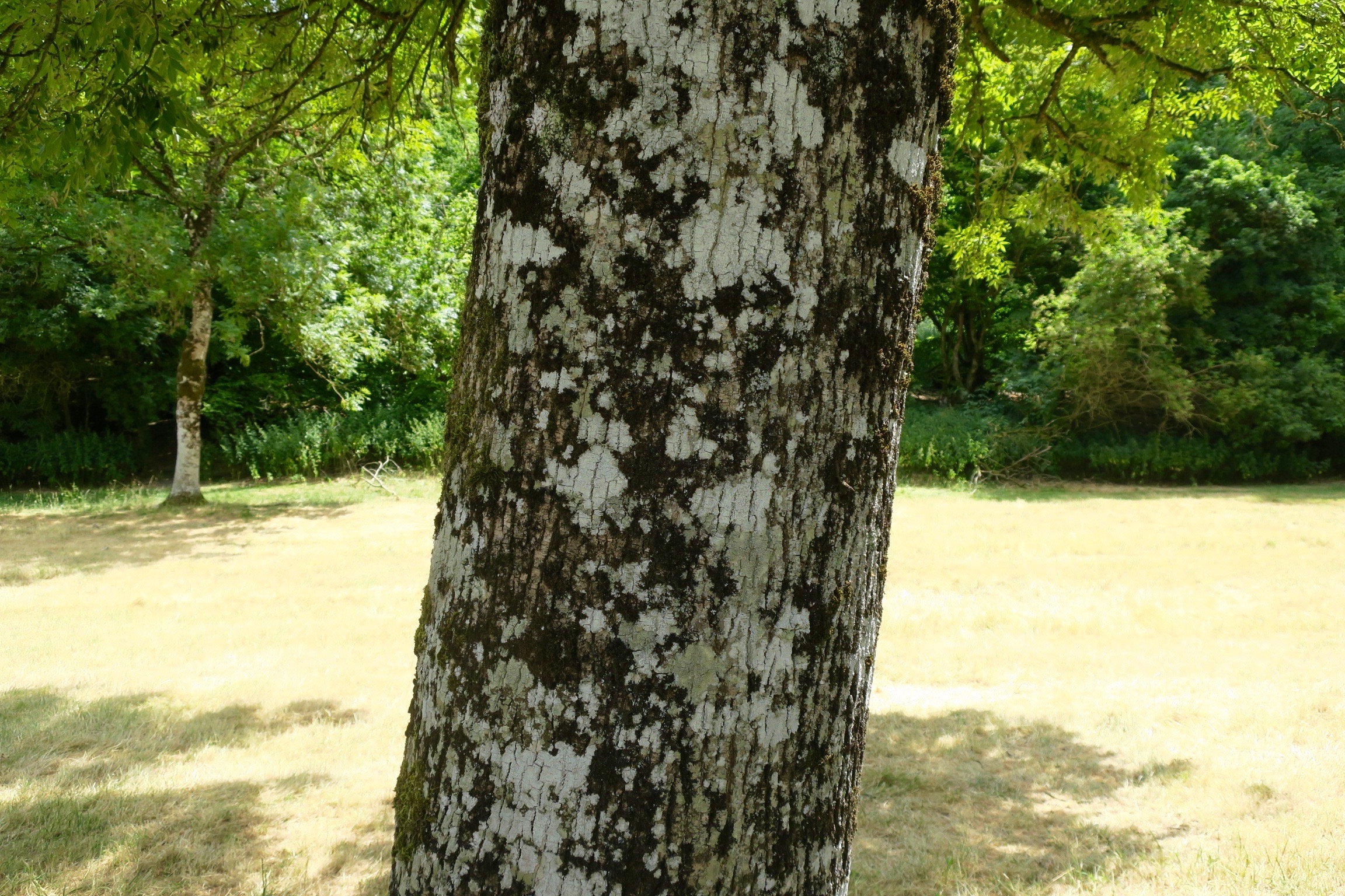
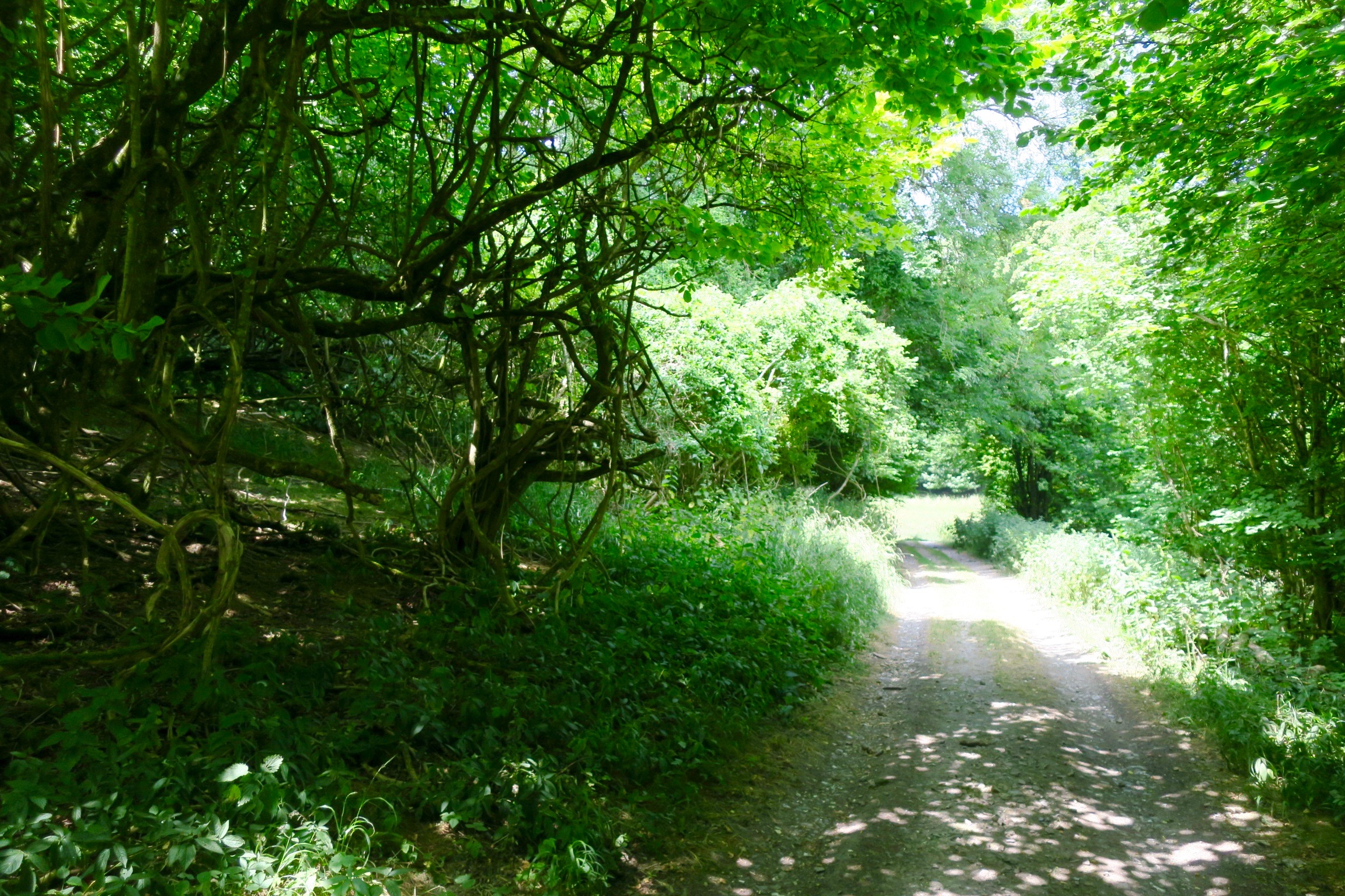
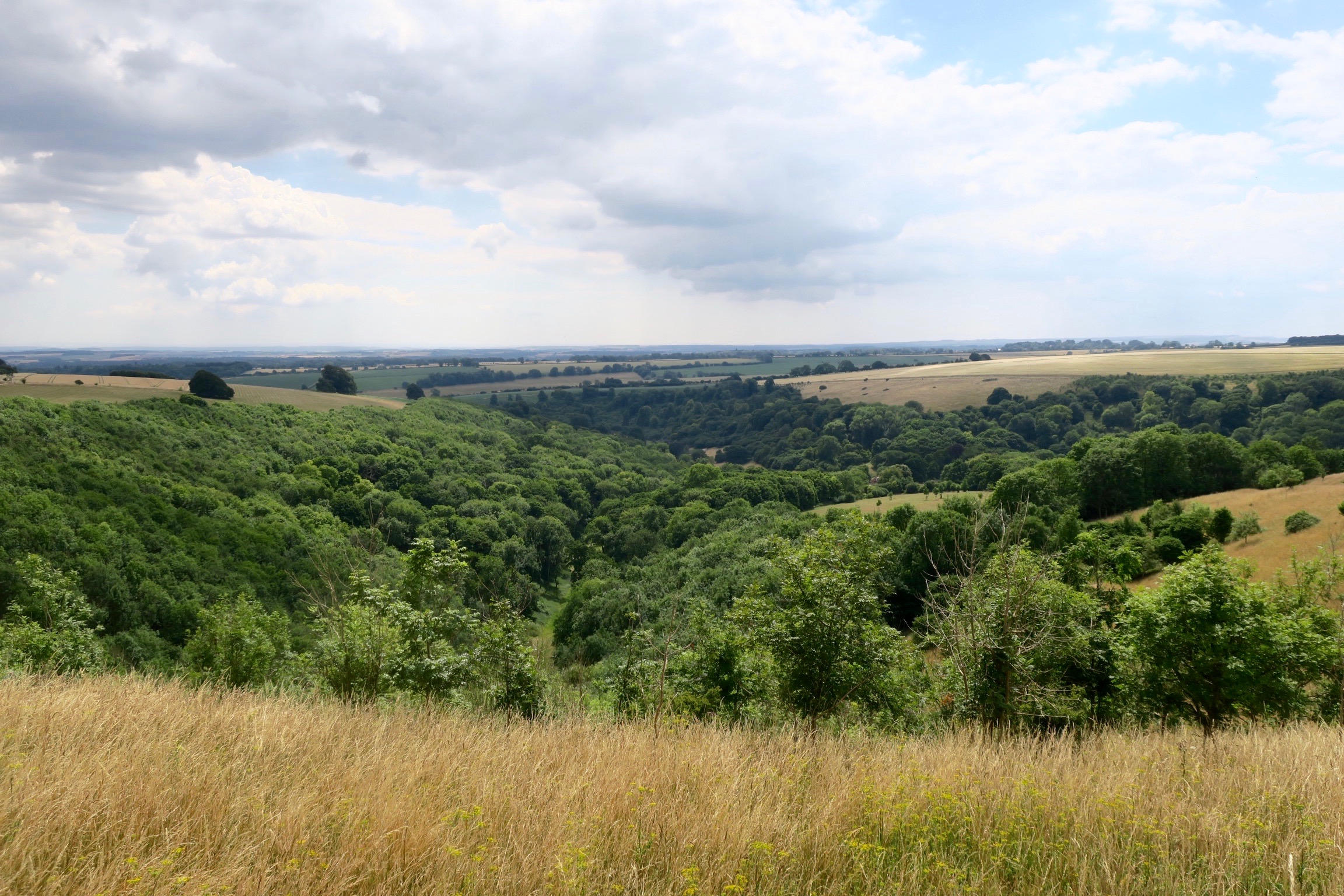
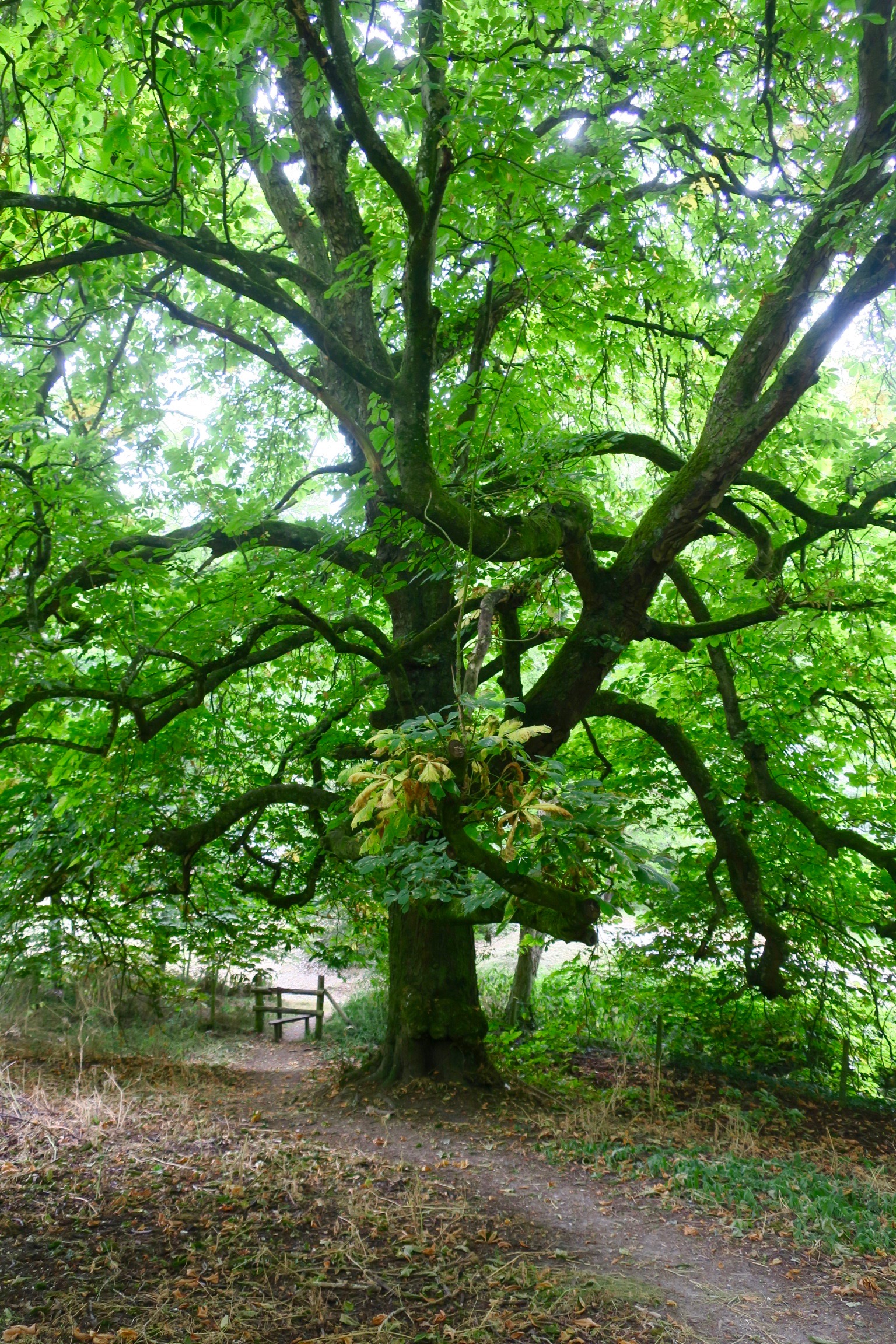
We continued along Ashcombe Bottom.
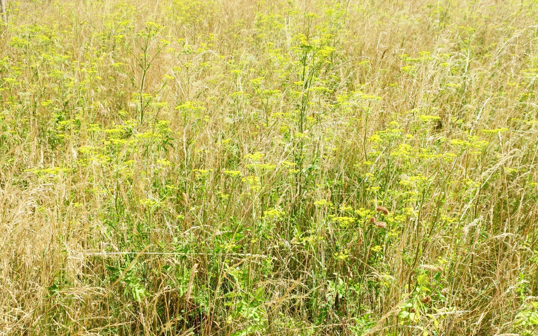
A bank of umbellifers, I’m not sure which, maybe alexanders, maybe angelicas, maybe anothers.
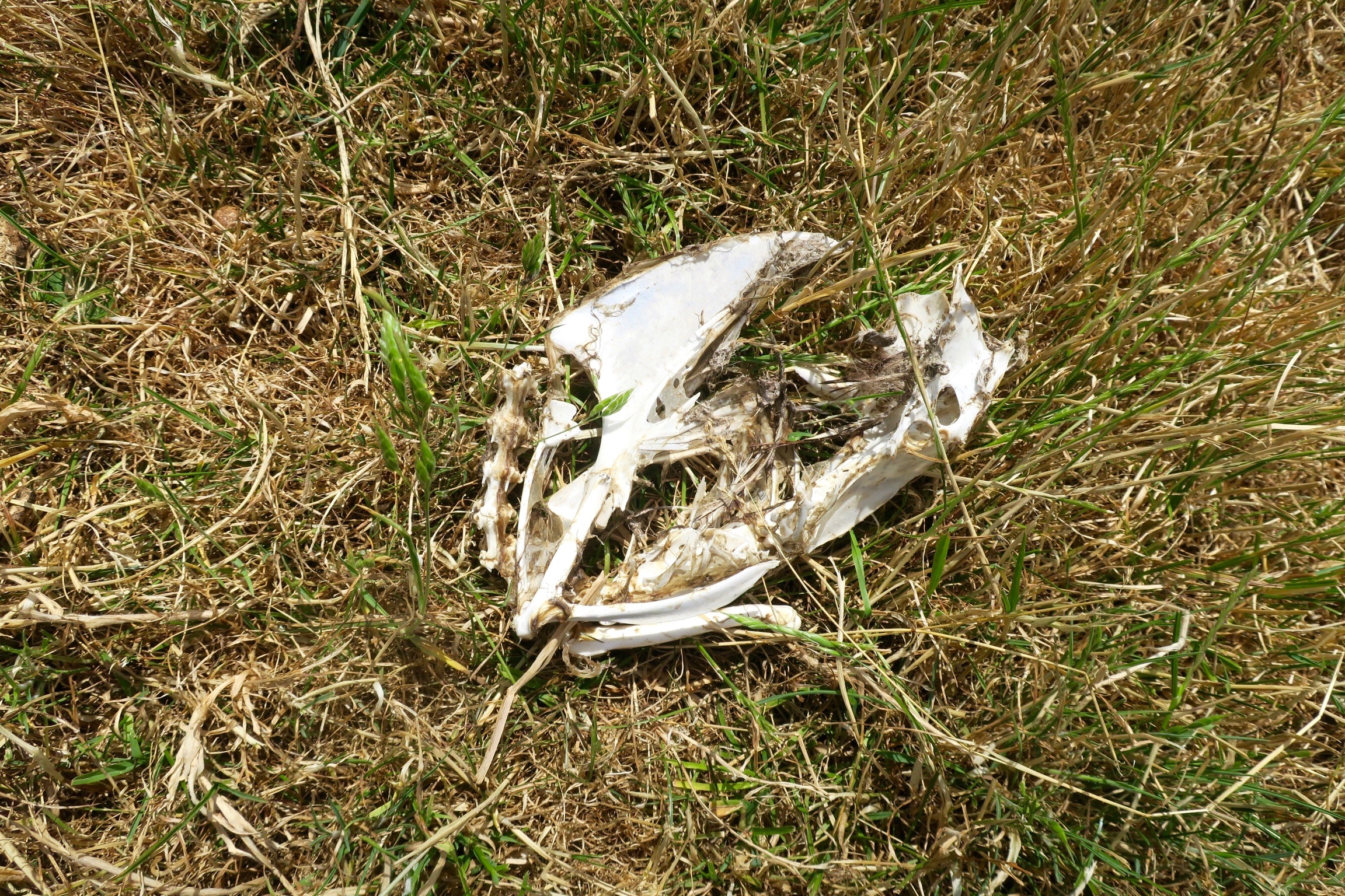
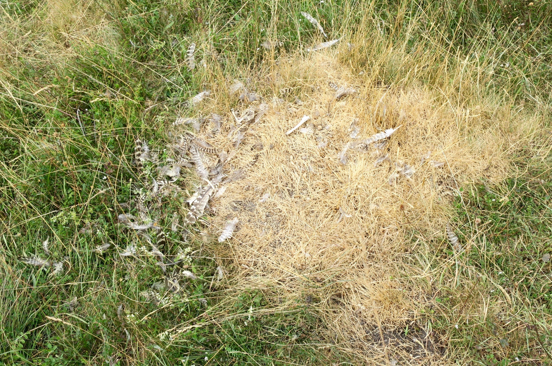
Everywhere we saw signs of pheasant rearing; wire-netting pens under the trees, feeding stations, scurrying sounds of juvenile birds hiding in the banks of nettles. This is one that has gone before.

Ahead of us through the trees we spied Ashcombe House.
Ashcombe House and its 1,134 acres (459 ha) estate lies between Tollard Royal and Berwick St John, in Berwick parish. Photographer and designer Cecil Beaton lived there between 1930 and 1945; it was bought by entertainer Madonna and her husband Guy Ritchie in 2002, and transferred to Ritchie in 2009 as part of their divorce settlement.
Ashcombe Estate | Tollard Royal


Ashcombe

The path began a steep climb through the woods up onto the downs.
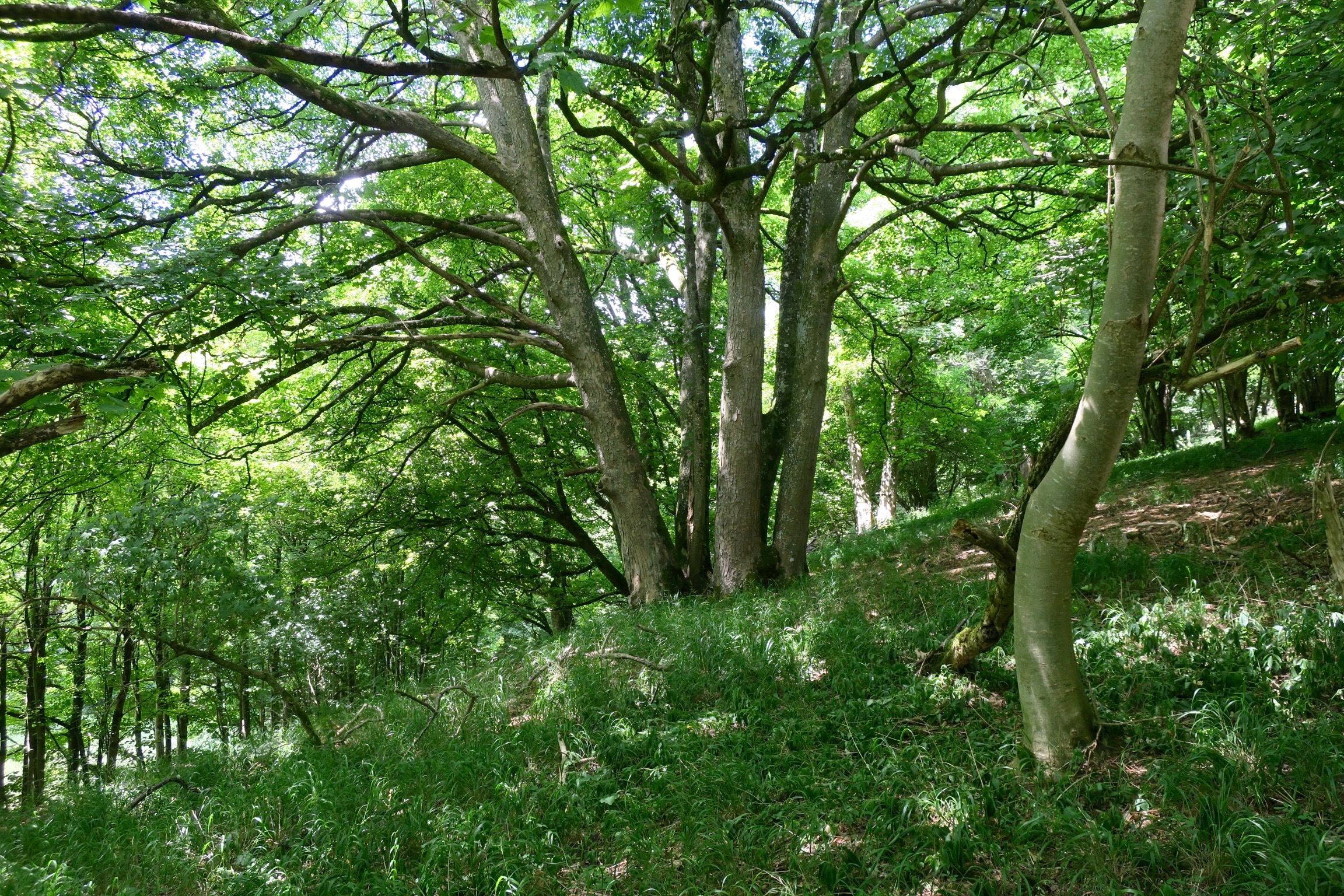
The noise of chainsaws echoed through the trees.
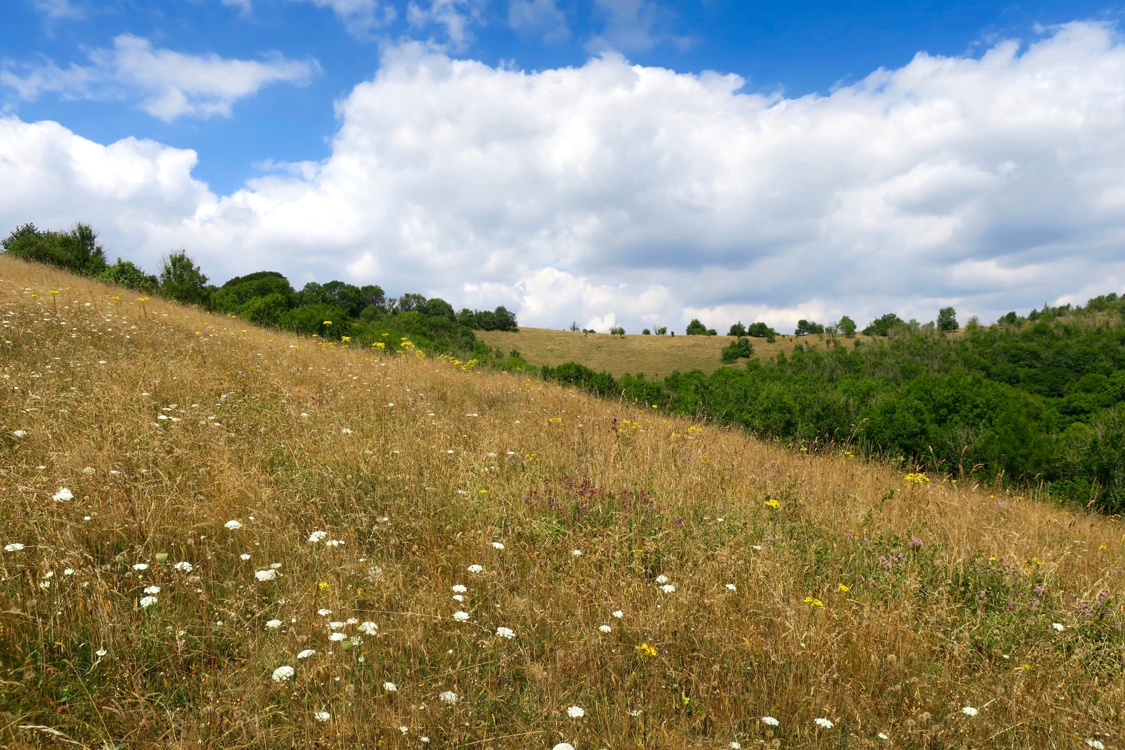
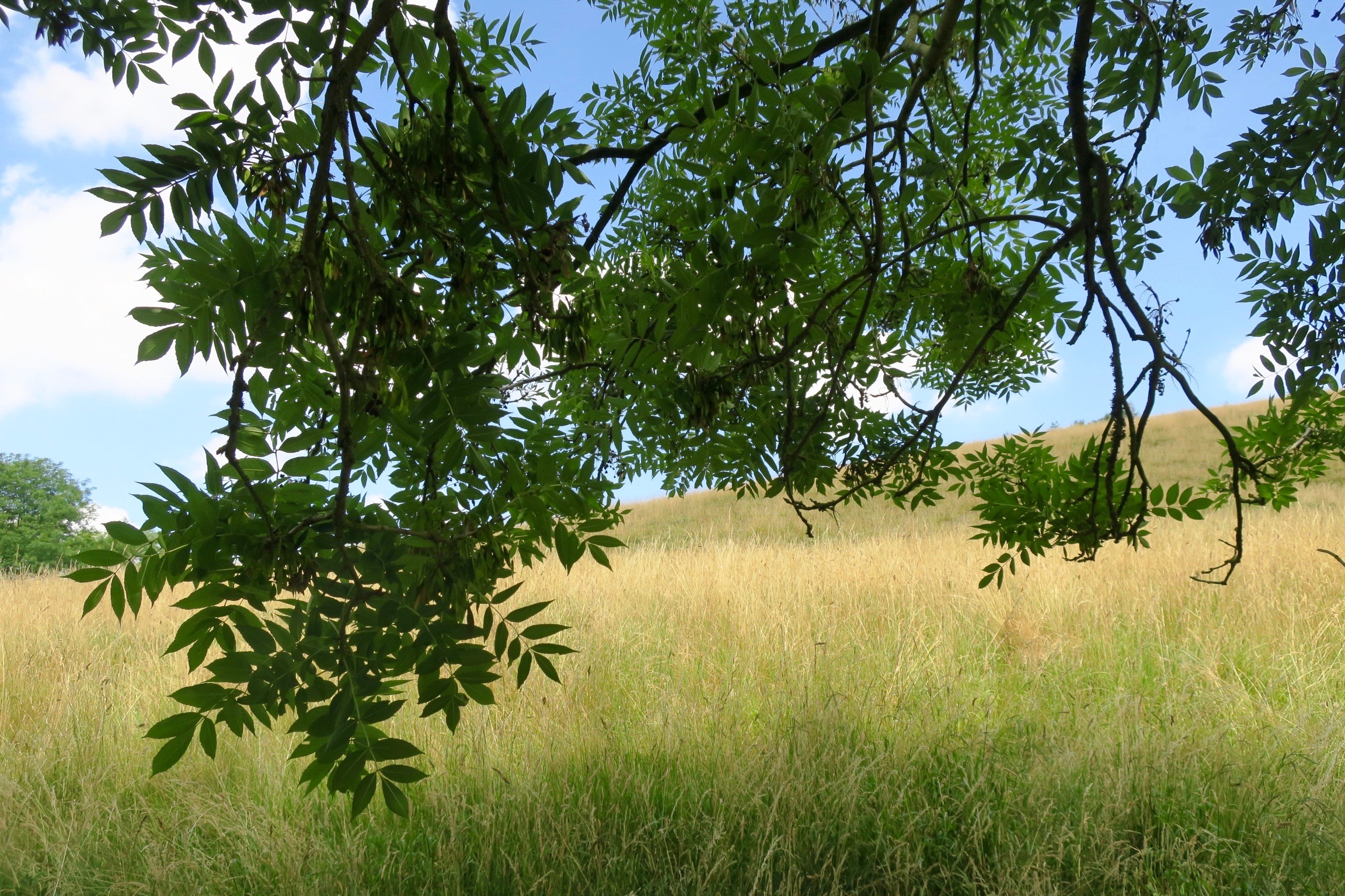
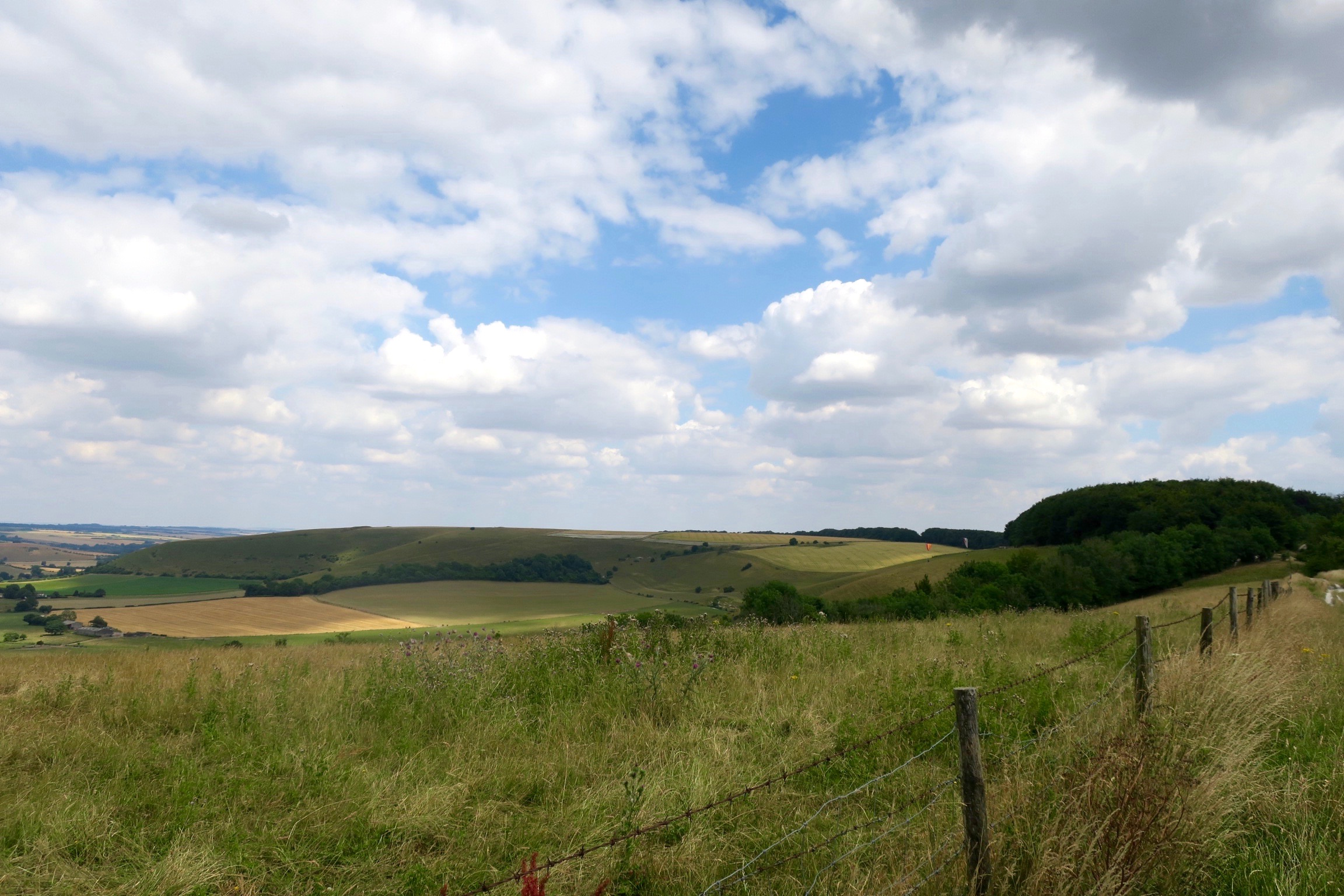
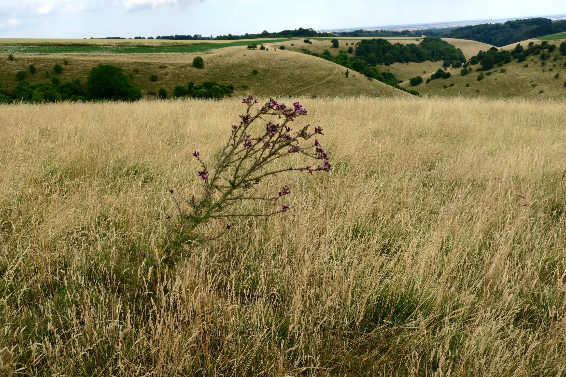
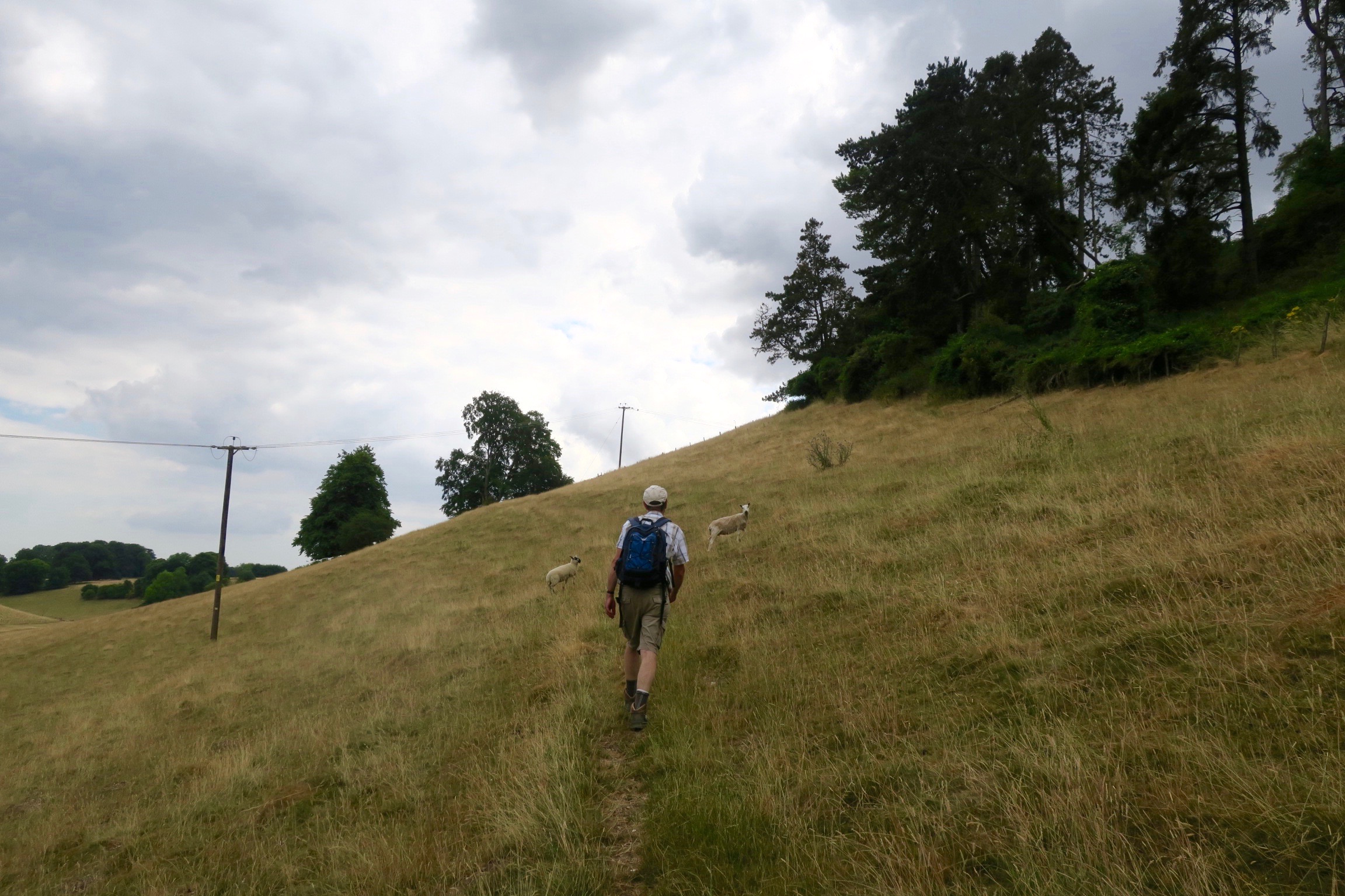
Above the woods we walked through the dried grasses of the July heatwave.
Looking back to where we’d come from, Ashcombe House just about visible down in the bottom.

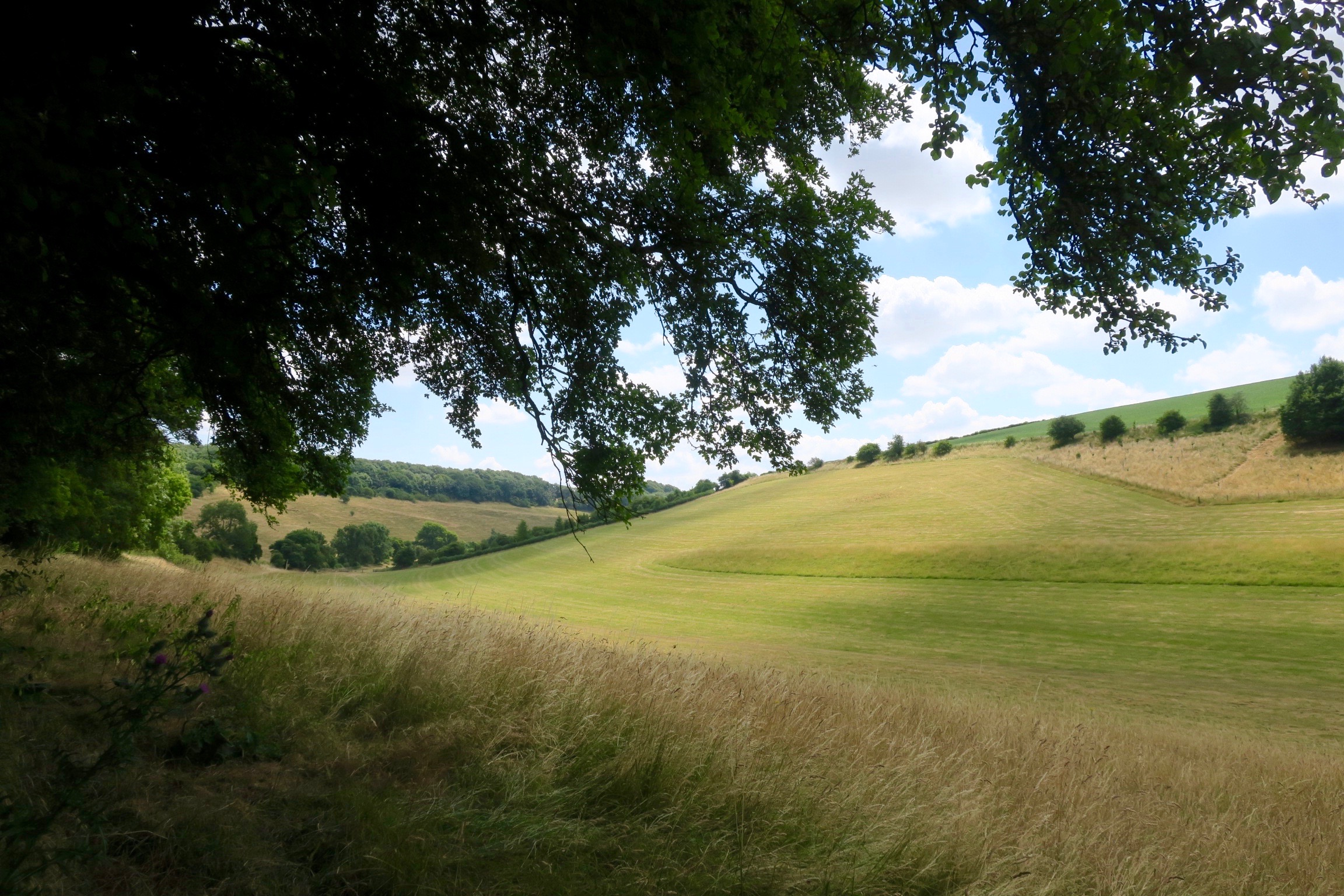
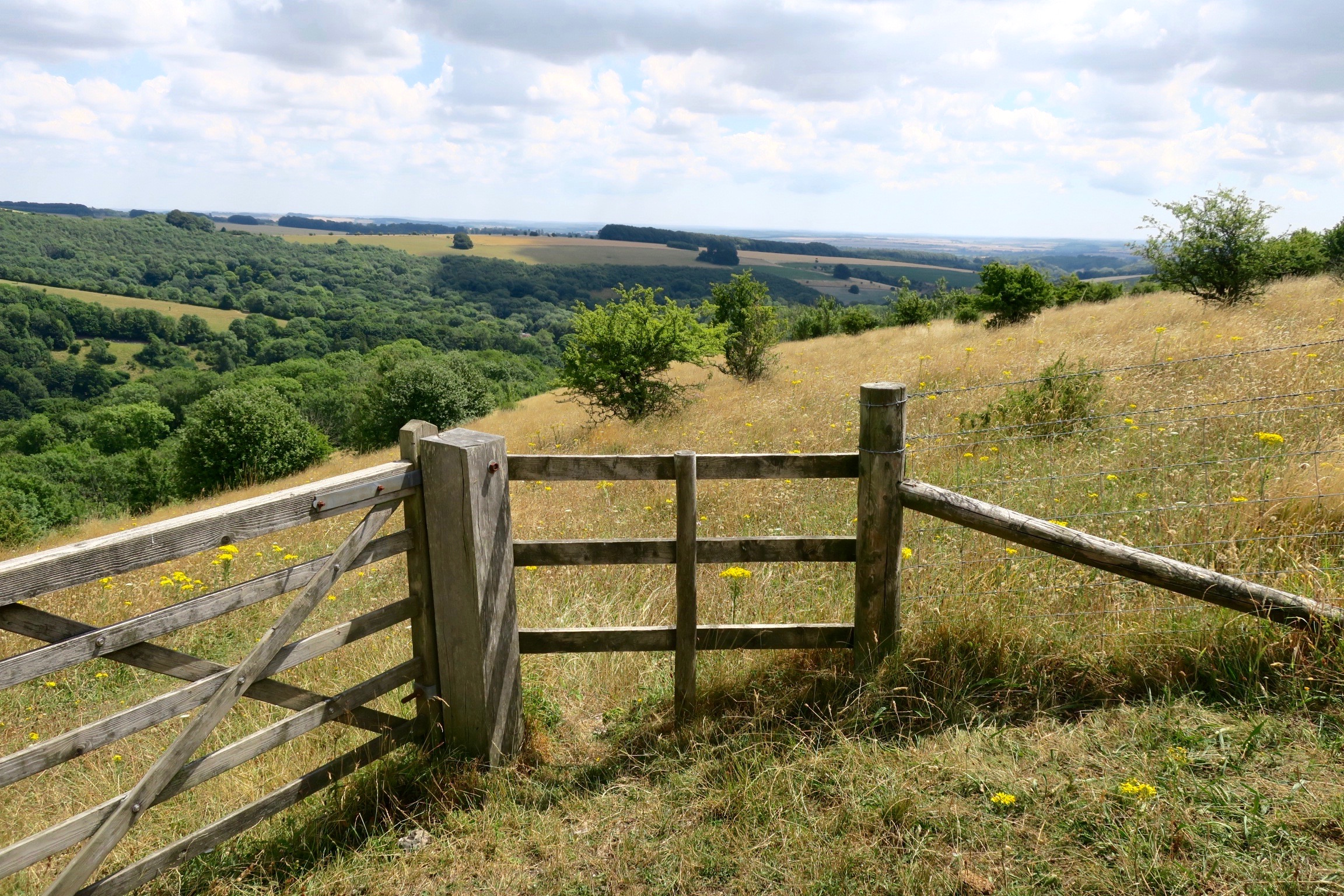
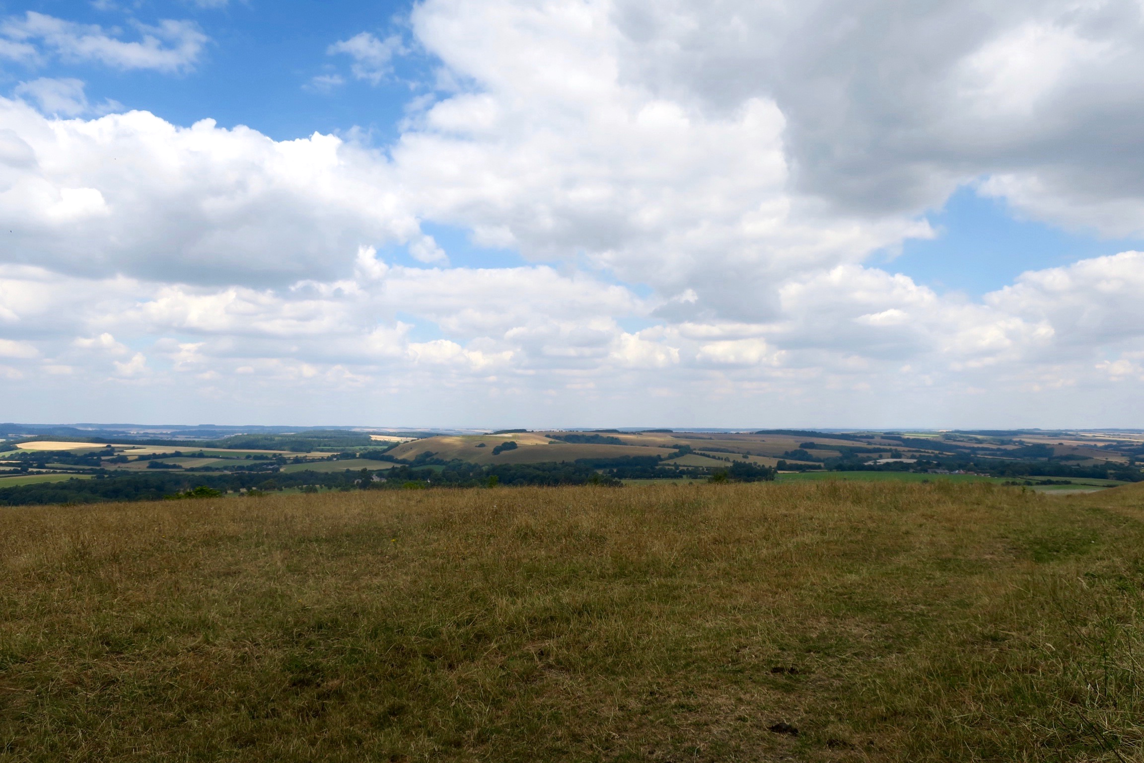
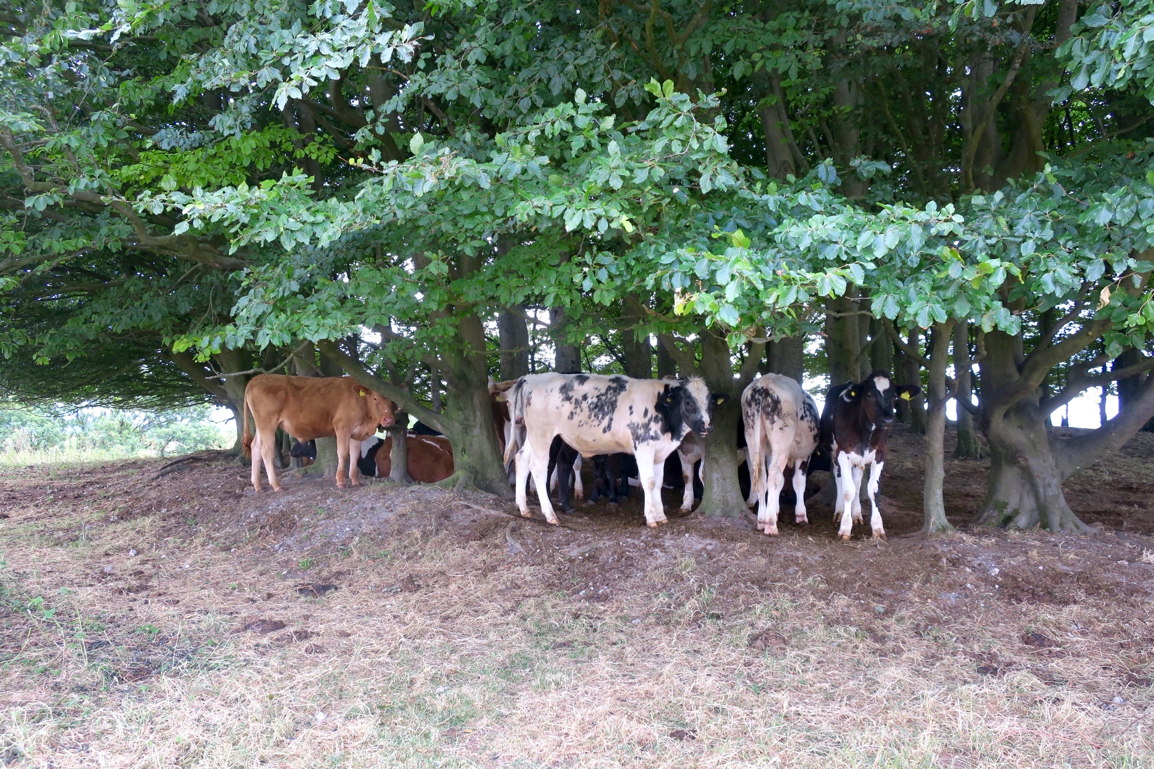
On Win Green, inside the beech shaded barrow with a small herd of cattle. They looked on, only slightly curious, as we sat on the bench with a picnic lunch at the highest point on Cranborne Chase and surveyed the vast panorama across Hampshire and Wiltshire and Dorset.

Imagine the next sequence of photos stitched together from left to right.
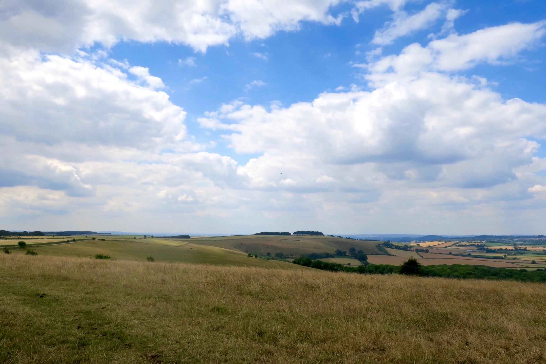
On a clear day you can see the Isle of Wight from here.
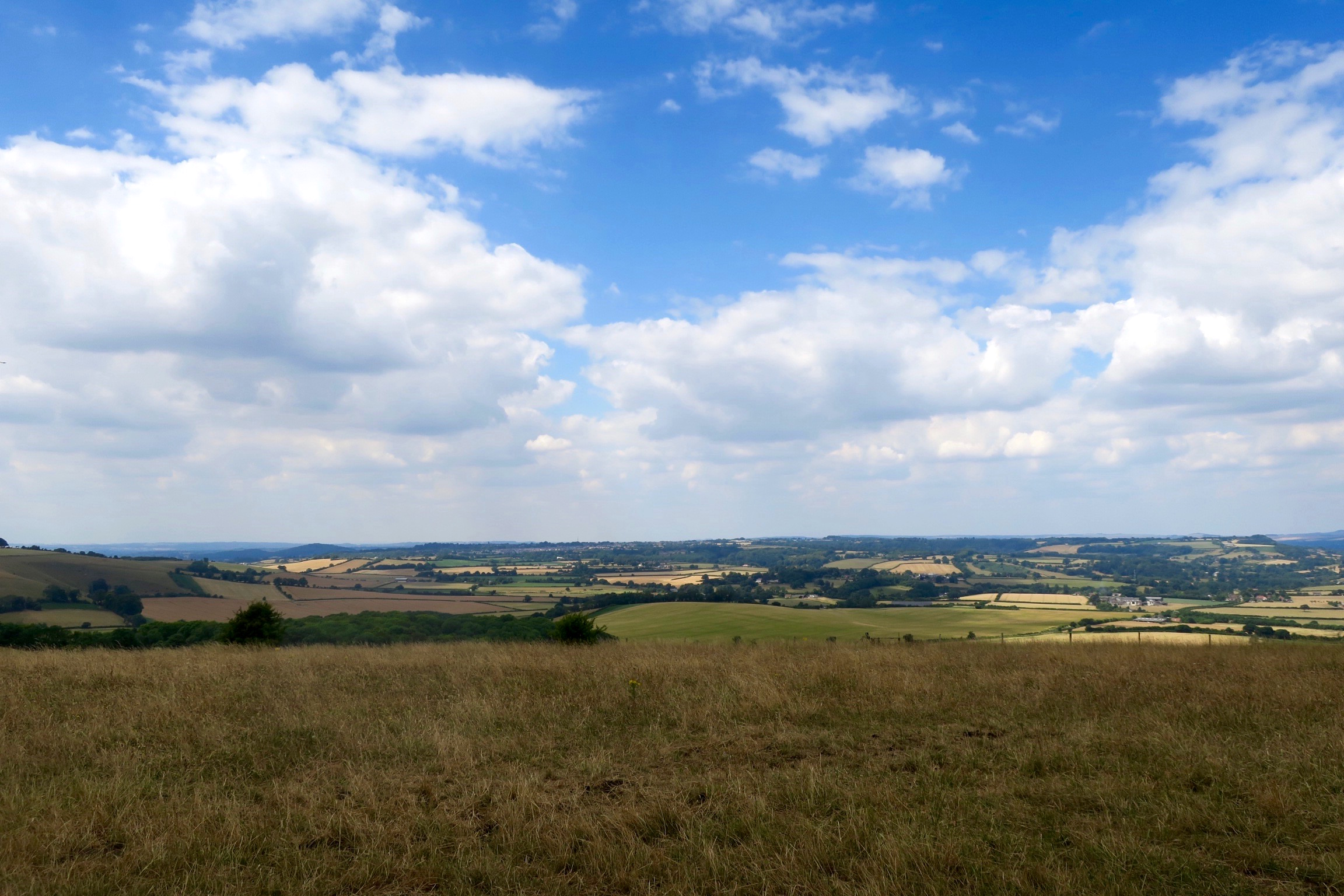
Looking towards Shaftesbury.
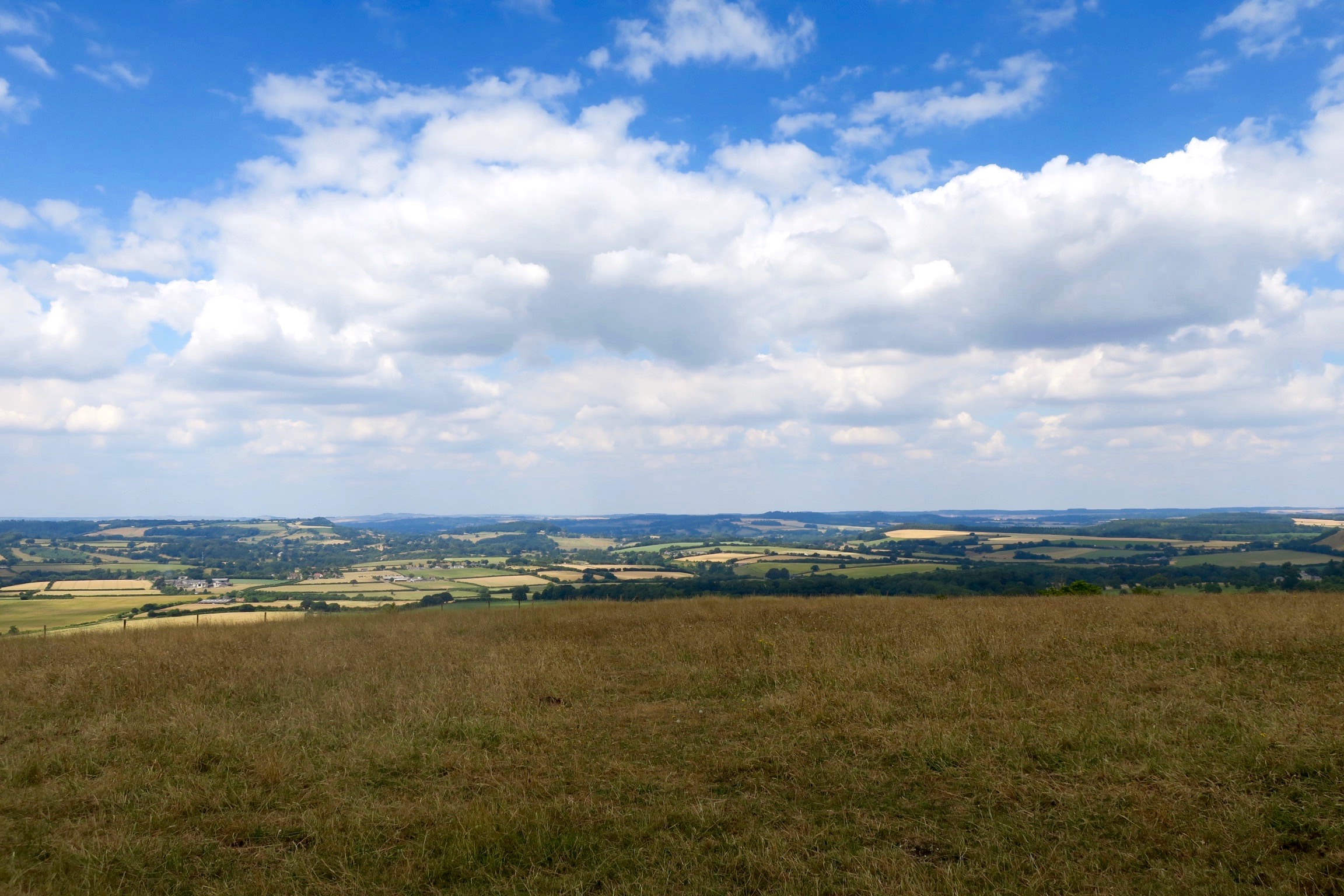
Looking towards Donhead St Mary and Donhead St Andrew.
Looking towards White Sheet Hill.

Looking towards Winkelbury Hill Fort.
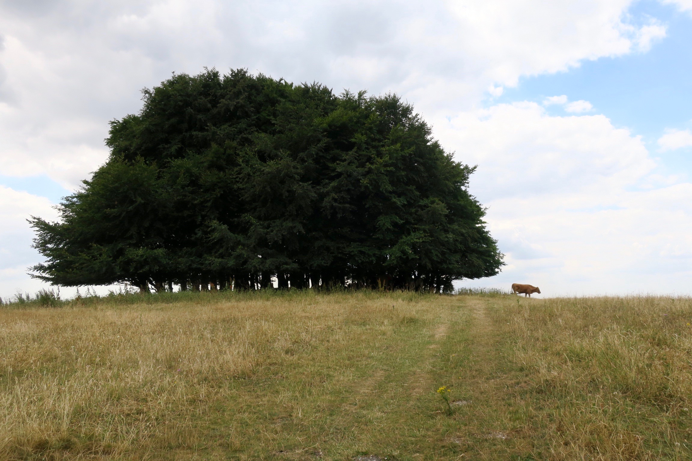
Walking away and looking back at the distinctive shape of the beech tree clump on top of Win Green.
Winkelbury Hill Fort
The beech clump appears on the far horizon to the right of the hill fort.
Winter Stubble Fields, Winkelbury Hill Fort
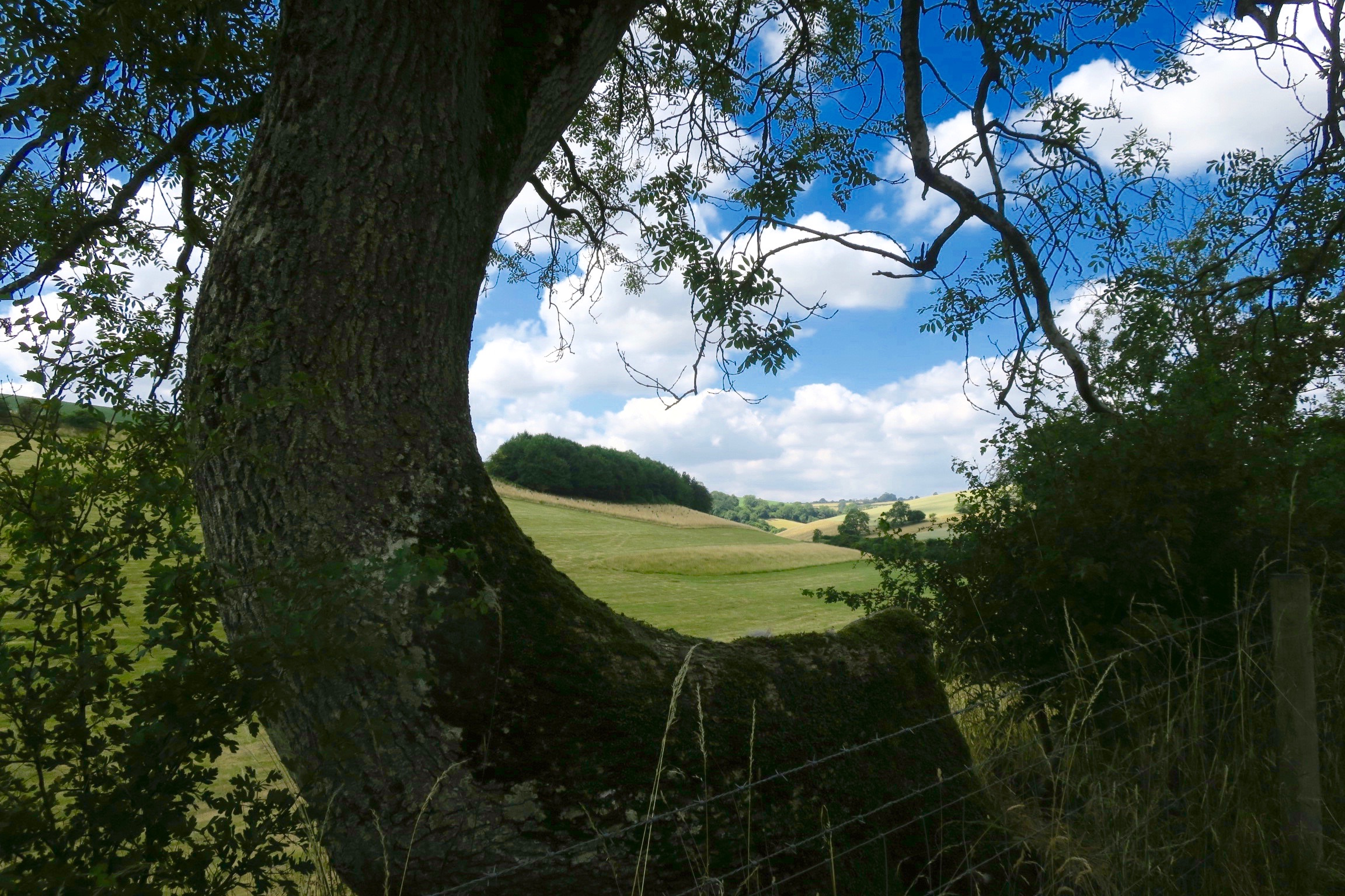
We came down off Win Green and joined the Ox Drove.

The Ox Drove is one of the longest and most ancient routes in the country, linking Axminster in Devon with Ivinghoe Beacon in Buckinghamshire, and is linked to the Wessex Ridgeway. Formed by drovers moving cattle long distance, it may also have been the route used to transport Portland stone to build Salisbury Cathedral.
However, according to Howard, “the stone for Salisbury Cathedral was quarried at Chilmark near Tisbury in the Nadder Valley, parallel to the Ebble which is chalk… The houses in the Nadder Valley are often of stone, whereas the Ebble has only a few, mostly cob walls with brick and little stone.”
In the distance we spied two hang gliders waiting for lift off on the edge of Ferne Hollow.
Another view down to Ashcombe.
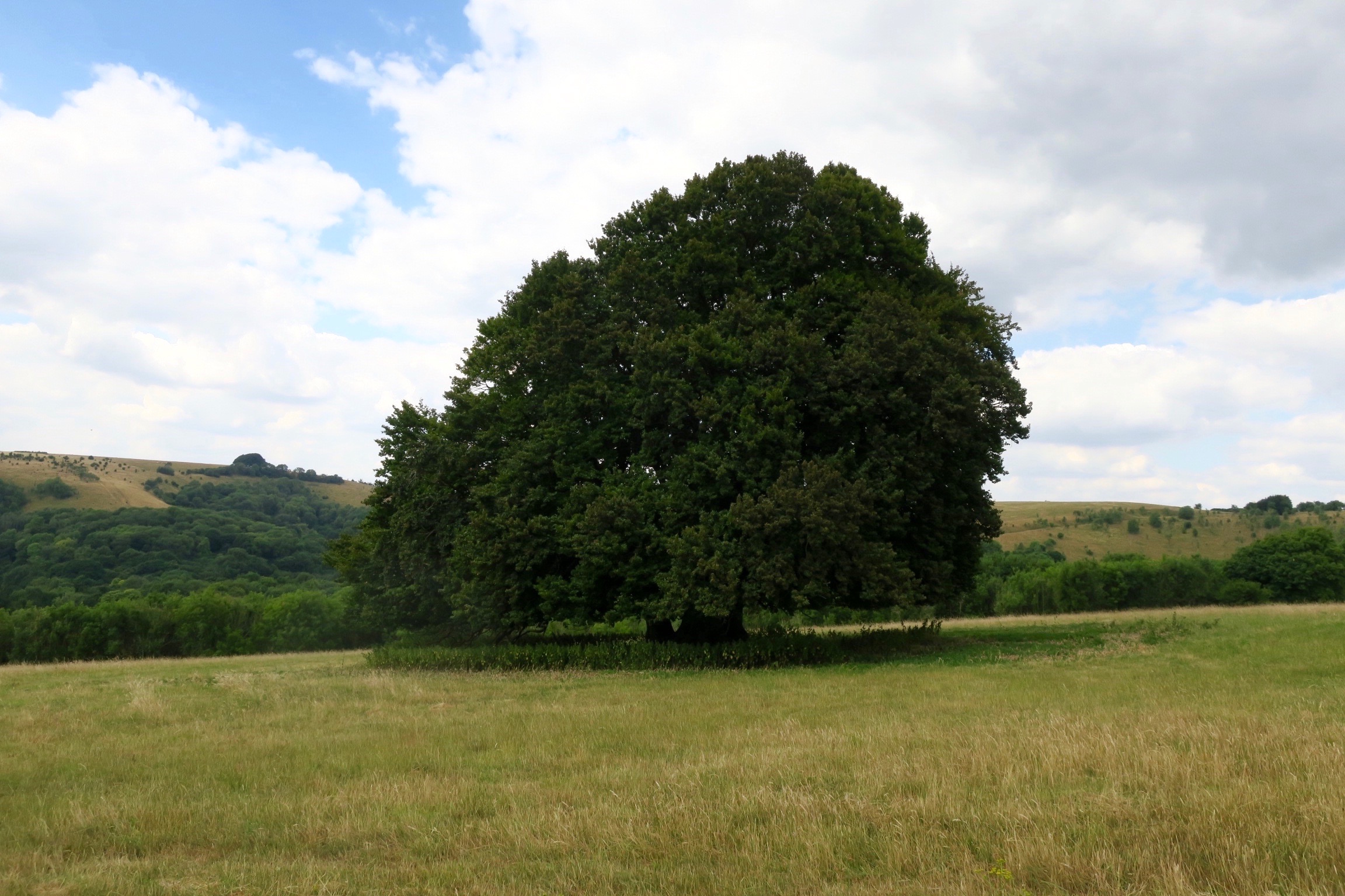
And behind us, across the valley, another view of the clump of beech trees on top of Win Green. Howard had hinted that I should photograph this view but somehow I’d overlooked it. This is his photo from a previous walk. I’m reminded of similar trees on similar hills at Wittenham Clumps.


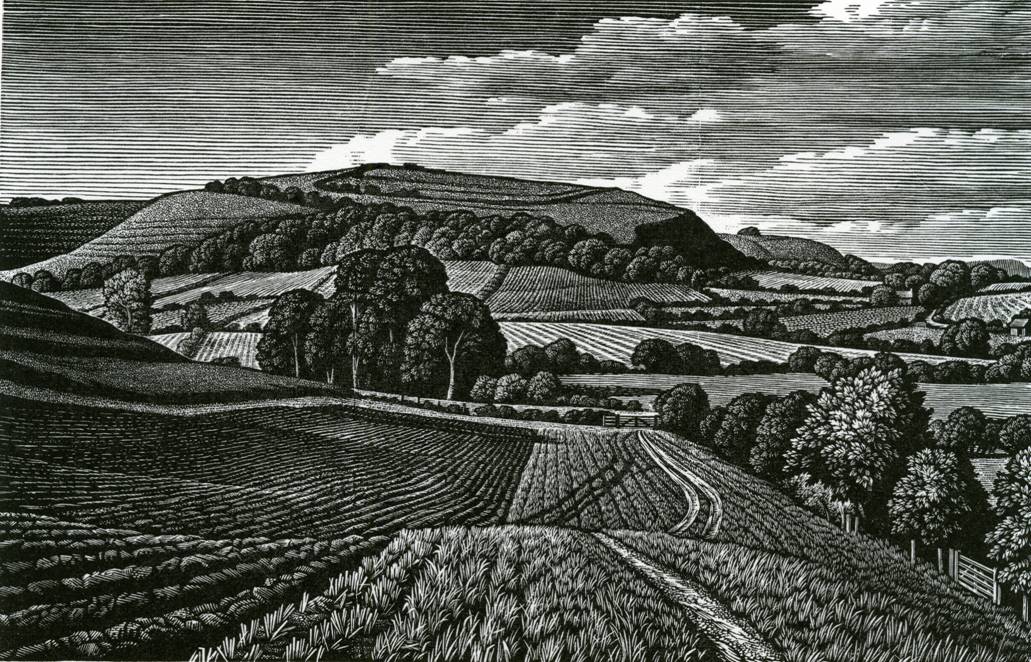
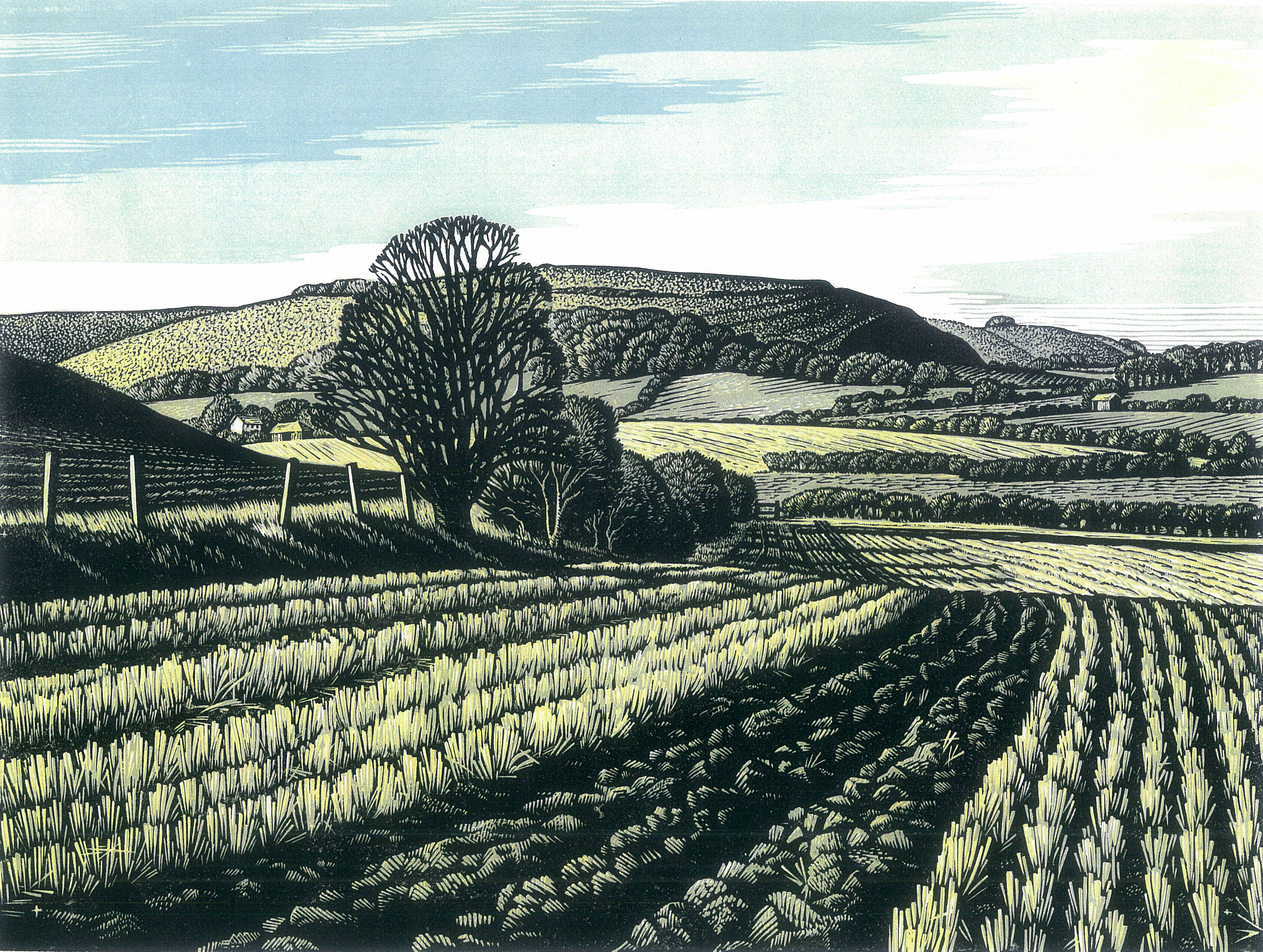
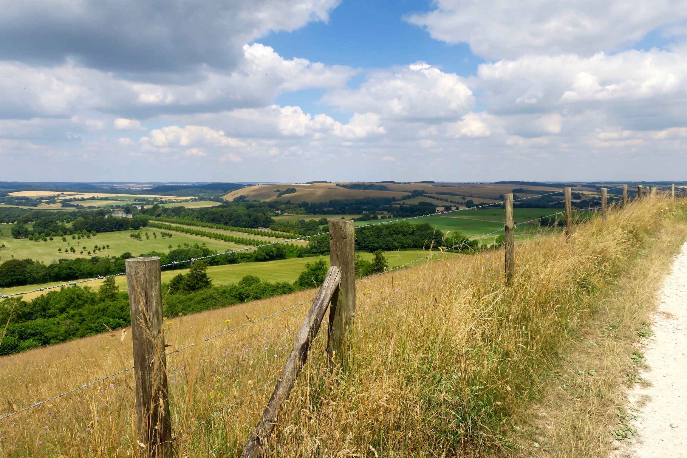
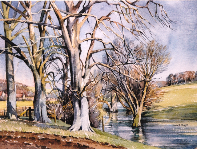
Win Green From Berwick Down
Win Green From Berwick Down
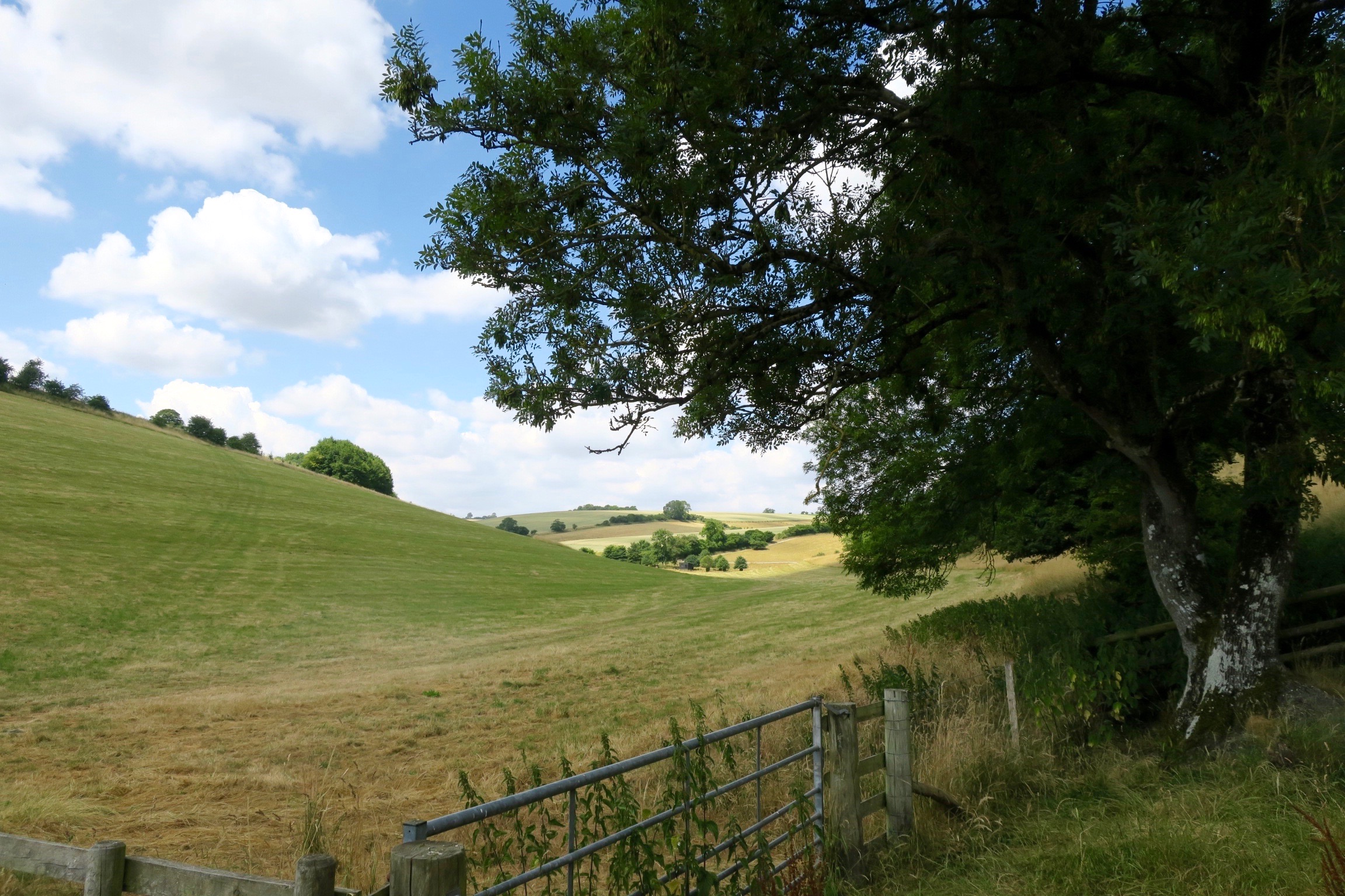
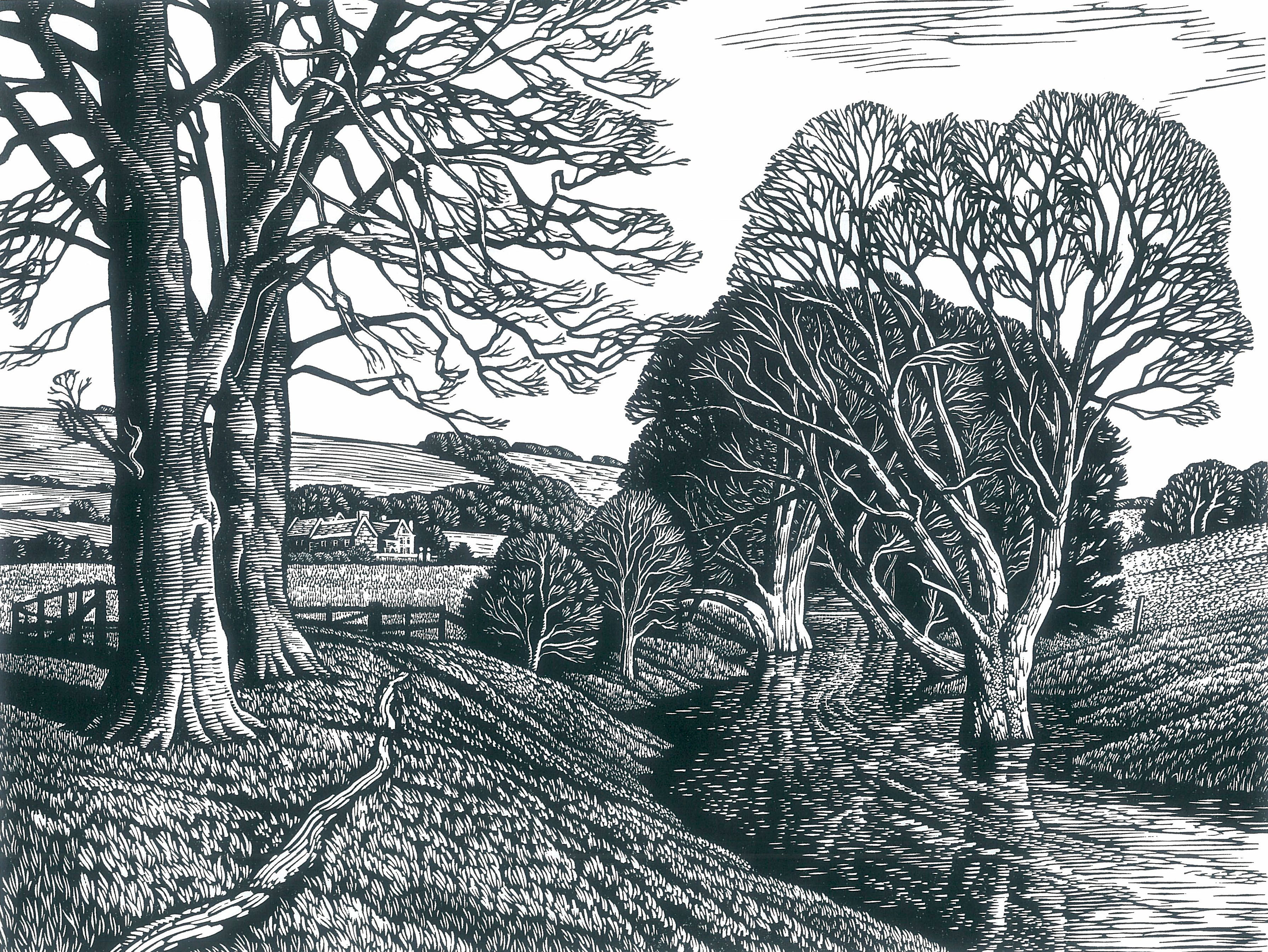
Just south from the Ox Drove, on the ridge between Ashcombe Bottom and Malacombe Bottom, we came over Berwick Down and discovered another inspirational view back up to Win Green.
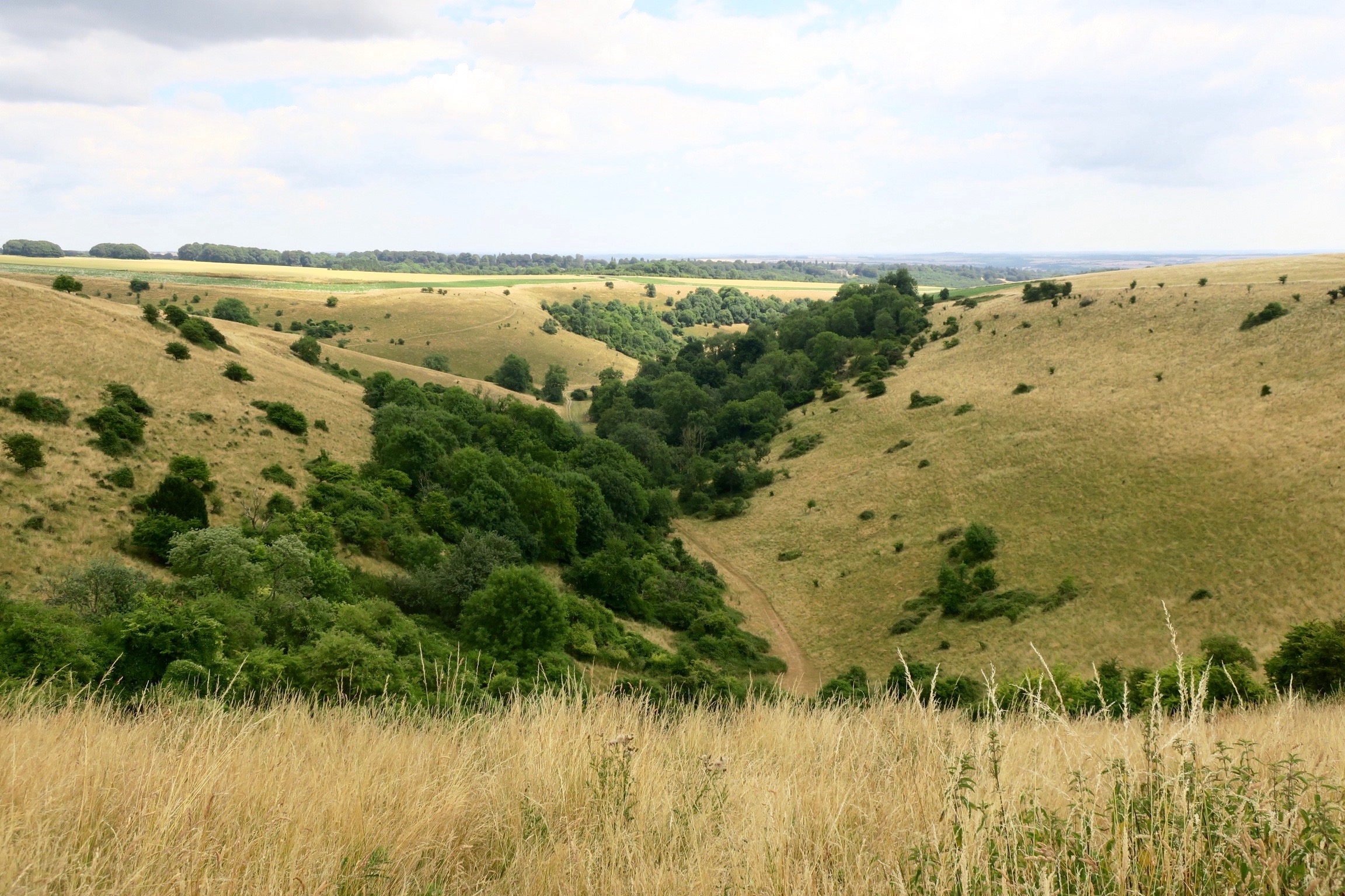
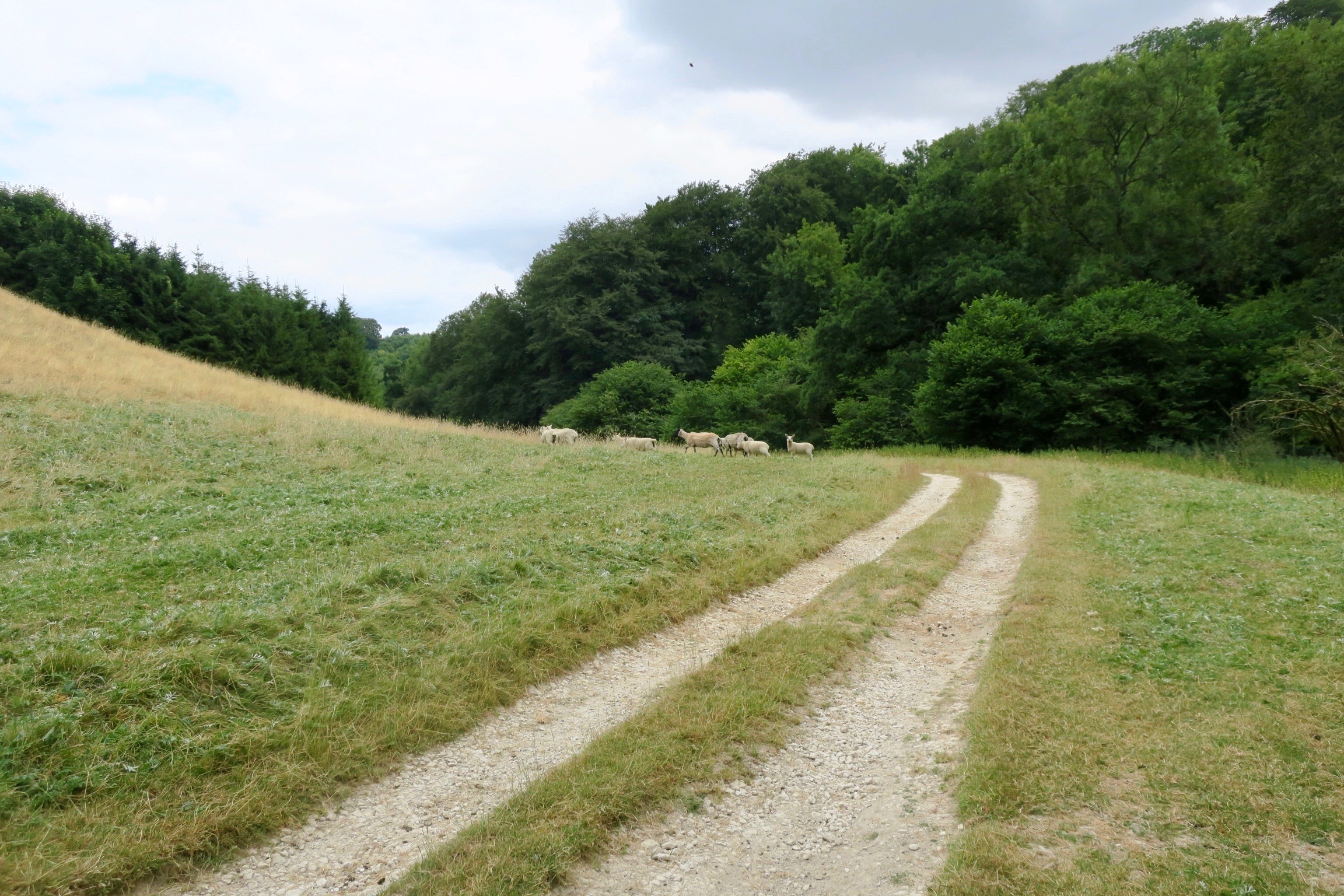
We walked around the top edge of Malacombe Bottom, where sheep and lambs nestled together in the hollows beneath hawthorns and the sky was filled with the burbling songs of larks ascending.

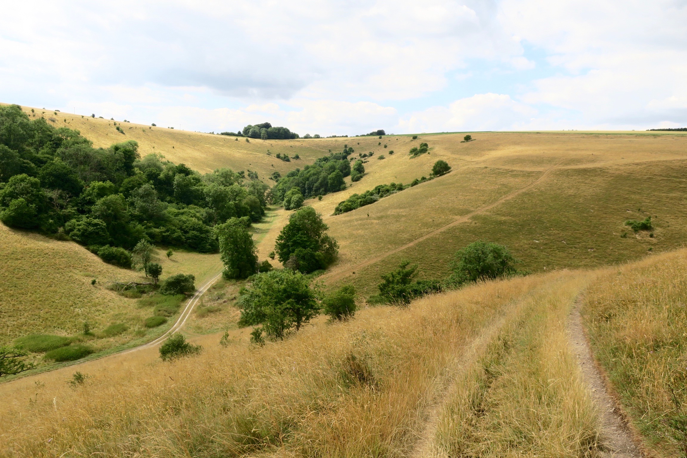
We dropped down over the steep edge of the combe, careful not to go sliding to the bottom on the slippery dry grass, then we climbed back up the other side to see where we’d been.
But not quite far enough to achieve the view captured in one of Howard’s finest wood engravings.

Malacombe Bottom
In his book Ebble Valley, Howard has written lovingly of this landscape and the river that rises north from here, beyond Winkelbury at Norrington Ponds.
Norrington Ponds
Norrington Ponds
The River Ebble is a chalk stream that flows from west to east in the south-west corner of Wiltshire. It is a tributary of the Avon which it joins just south of Salisbury, and is one of the city’s five rivers which radiate out from it like fingers. The Ebble is one of the smallest of these rivers and for its first few miles it is but a winterbourne, disappearing completely during the dry summer months. Nonetheless, its course passes through stretches of often idyllic landscape and striking downland.
To set the scene it is useful to picture two roughly parallel ranges of chalk downland, some fifteen miles in length, that form the watershed of the Ebble. Upon these hills, like spines, are two significant Wiltshire ridgeways. To the south is the Ox Drove, whilst across the valley is the Salisbury Way, also known as Shaston Drove, Shaston being the ancient name for Shaftesbury. Shaftesbury and Salisbury were important market towns from medieval times. Both routes served the same purpose of linking the two towns, in particular enabling the movement of cattle over dryer ground. The moving of cattle over substantial distances increased from the late Middle Ages when expanding cities became too large to subsist on local produce alone. The drovers adopted green ways on which no tolls were levied, and which offered grazing along the way, although in this instance Lord Pembroke’s estate did eventually turnpike the Salisbury Way in the eighteenth century.
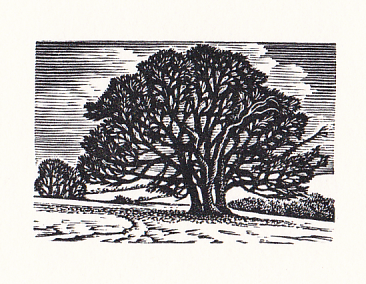
As the Ox Drove is so significant to this observation of the Ebble Valley I will begin at Win Green, the highest point in the area. This vantage point is marked by a distinctive clump of trees, shaped by the prevailing winds. From here there is a panorama of the head of the valley, marked to the north by White Sheet Hill where the Salisbury Way rises from relatively flat ground. Turning 180 degrees to the south some stupendous landforms are visible, dramatic coombes that lead towards the woodlands of Cranborne Chase, beyond which, in clear conditions, it is possible to see the Dorset coastline and the Isle of Wight. This area of high downs and steep-sided coombes rises a few miles west of Win Green, out of the Blackmoor Vale which Hardy aptly described as ‘the valley of the little dairies’. Here at the county boundary with Dorset the Ox Drove actually begins and is clearly visible close to a road known as Zig-Zag Hill. Set within a substantial hollow, worn deep from centuries of use, it rises up the side of the down. The edge of this range of land is marked by the sensuous curve of Melbury Beacon, an amphitheatre of a landscape when seen from the Drove.
![]()
Melbury Beacon
Heading east from Win Green the landmass immediately narrows and the wide chalk track hugs the ridge as far as Monks Down. The geography of the area is particularly clear since the flanks on either side of the ridge are steep. Southwards is the dry valley of Ashcombe, which unusually for such downland is densely wooded, and a stunning landscape it is as it sweeps around in the direction of Tollard Royal. South facing and central within this coombe is Ashcombe House, hidden from above by the trees, and standing at the end of a wide wooded promontory.
From within Ashcombe the Ox Drove skyline and Win Green create a superb sculptural form and, as there is otherwise only a keeper’s cottage there, this special place has an air of rare tranquility about it. There was a substantial house at Ashcombe in the seventeenth century, and an eighteenth century painting clearly illustrates its layout with ornamental gardens. In 1930 the photographer and designer Cecil Beaton discovered the house, by then somewhat less than cared for. He was much taken by the setting and acquired the lease, restoring and cherishing Ashcombe only to lose it in 1945 when the owner reclaimed a now much improved property. Beaton wrote a memoir of his time there in ‘Ashcombe: The Story of a Fifteen Year Lease’. I recall a relic of his time there, an old Southbourne tram carriage lying like a stranded whale on the valley bottom, being used to store feed for game birds, the map of its promenade route still just intact within. Beaton mentions using it when he held his parties at Ashcombe in the thirties. He was sad to move on but remained faithful to Wiltshire, subsequently acquiring a house in the Ebble Valley.
Ashcombe In Winter
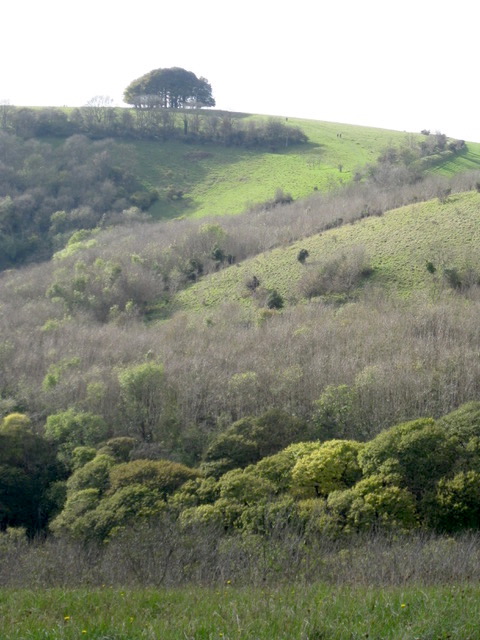
Given the remoteness, it can’t always have been easy in the 1930s getting over the hill from the Ebble Valley. Access was by way of Berwick St John, which sits neatly tucked between White Sheet Hill and Winkelbury Hill. Winkelbury is a massive promontory which thrusts away from Monks Down to loom over this small farming community. There is a wild beauty about such noble hills, and there are signs of early human habitation on this wind-ravaged ground which gives it a timeless feel. From several angles ditches and ramparts are visible, for Winkelbury was once an Iron Age hill fort, its name being derived from ‘winterburge’, or fort used in winter. The atmosphere of Win Green and Winkelbury is enhanced by the solitude and untouched nature of its steeper slopes.

Winkelbury Hill & Win Green from Norrington Ponds
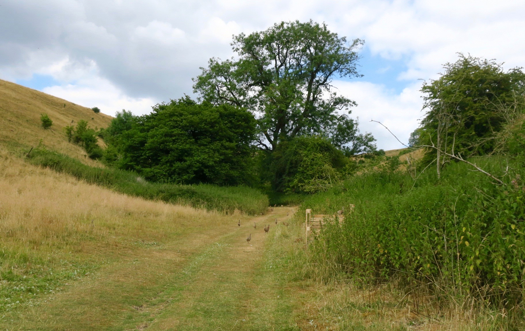
We came back down the steep slope into Malacombe Bottom and found it full of young pheasants.
We followed the track along the valley floor, accidentally herding sheep as we went. They complained by bleating loudly all the way while everywhere around pheasants went running for cover.
We were lucky that the sky was overcast; it was a day of respite in a month of unusually high temperatures. Howard led the way up over the hill by Munday’s Pond through shining wheat fields and down into Tollard Royal, full circle back to where we had started from.


※

Howard Phipps: Wood Engravings & Linocuts
in the window of The Rowley Gallery until the end of September.
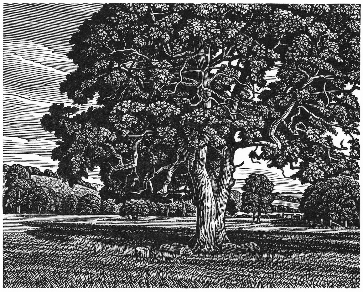
Ebble Valley Oak
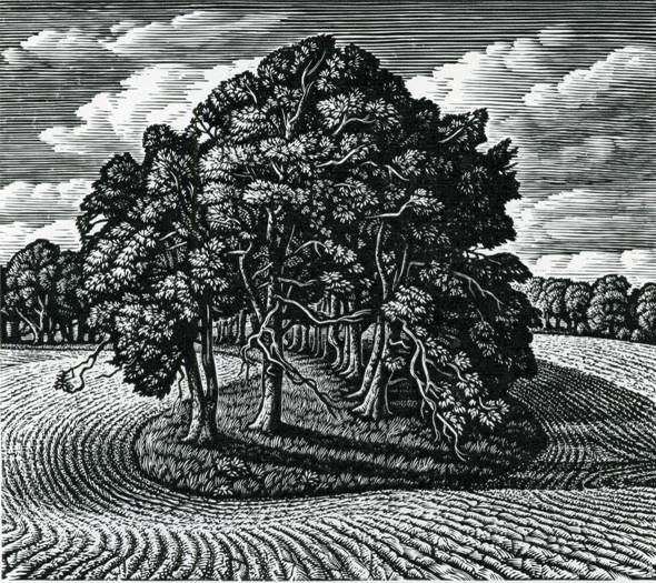
A Beech Shaded Hollow, Cranborne Chase
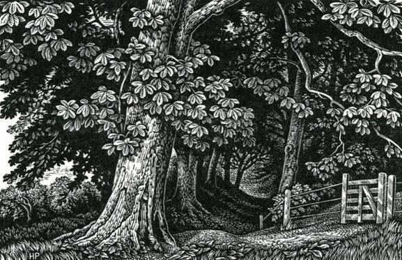
Edge of the Wood, Broadchalke
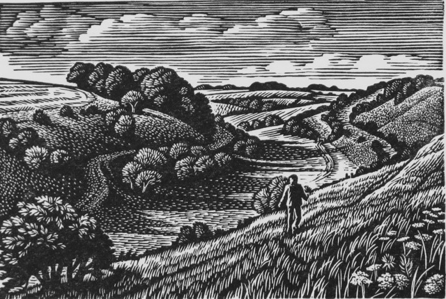
Lynchets, Combe Bissett Down
※
Howard Phipps / The Rowley Gallery
If you enjoyed this blogpost you might also like to see – A Short Walk With Howard Phipps.
